What is recorded here
Located in a slight basin on a gently undulating landscape. Archaeological centre-line testing (04E1052) by G. Mcloughlin (2005) at Testing Area 1 of Contract 5 of the M3 motorway (excavations.ie 2004:1194) identified archaeological features that were fully resolved (E003163) by S. Reilly in November 2006 as Calliaghstown 3. It consists of two pits c. 12m apart. The W pit is subrectangular (dims 2.2m N-S; 1.16m E-W; D 0.6m) and contained four fills of brown/grey sandy clays with varying amounts of stone and charcoal inclusions. It is interpreted as a rubbish pit, and the primary fill produced a C14 date of 430-617 cal. AD (Beta 247134) from a sample of cherry charcoal. A wide variety of wild species and cultivated cereals were amongst the charred remains in this layer as well as some cremated bone. The E pit was more irregular in form (dims 3.18m N-S; 2.4m E-W; D 0.16m) and had a single fill of brown/grey clay with frequent stones and charcoal flecks. No artefacts were recovered from either pit. (Reilly and Ginn 2008)
Compiled by: Michael Moore
Date of upload: 4 March 2022
The monument record does not grant public access. Check the route and ask the landowner before entering private land.
- What survives
- Recorded monument
Places near here
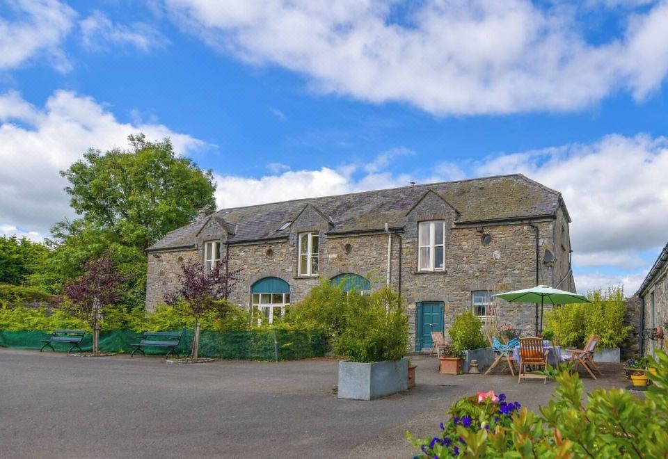 Enclosure in Calliaghstown (kells Upper By.)Enclosure · 416 yd
 Lackmelch RockfieldWood · 504 yd
 Long WoodForest · 660 yd
 Enclosure in LackmelchEnclosure · 851 yd
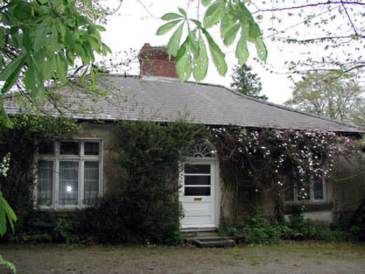 Westfield Cottagehouse · 1404 yd
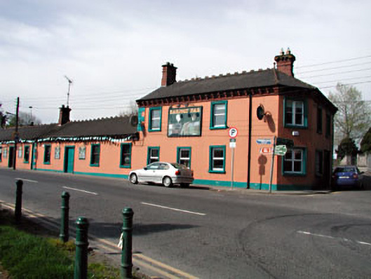 Railway Househotel · 1407 yd
 James CarolanMemorial · 1743 yd
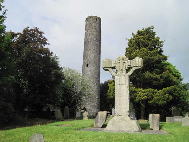 Kells Round TowerMemorial · 1.1 mi
 CastleCastle, unclassified · 1.2 mi
 Castle ruinsCastle · 2.3 mi
 MountainpoleMountain / peak · 2.4 mi
 CloncatMountain / peak · 3.0 mi