What is recorded here
Located 0.9m to the southeast [of LI048-111001-] is a small pit/area of burning identified in the eastern section face of the drain. It comprises a spread of orange burnt soil overlying charcoal lying 0.26m below present ground level and measuring 0.47m in diameter and 0.13m deep.
Compiled by: Melanie McQuade, Archaeologist, Forestry Service
Date of upload: 1 May 2015
The monument record does not grant public access. Check the route and ask the landowner before entering private land.
- What survives
- Recorded monument
Places near here
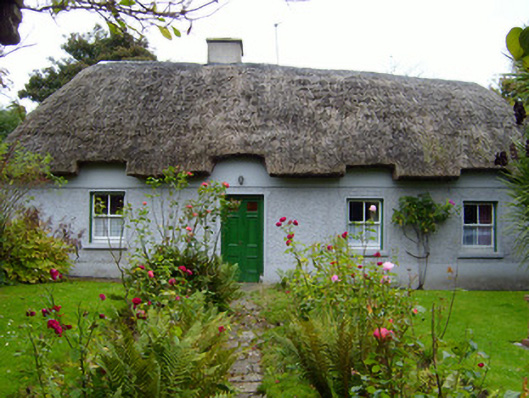 Martin's Cottagehouse · 602 yd
 Rathaboira, hachuredMound · 815 yd
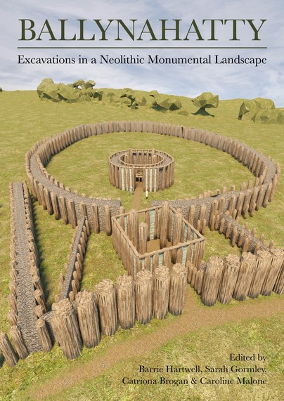 Earthwork in Ballinanima (darcy)Earthwork · 841 yd
 Quarry in KilfinnaneQuarry · 847 yd
 Ballyhoura tourist informationVisitor information · 1173 yd
 Castle (in ruins)Castle, tower house · 1182 yd
 Treada Na Ríogh (The Moat), hachuredCastle, motte · 1436 yd
 Palatine's RockNamed rock · 1.7 mi
 Ballyhoura WayWalking route · 2.0 mi
 Ballinvreena LoopVisitor information · 2.5 mi
 Gooseberry HillMountain / peak · 2.6 mi
 Keale MountainMountain / peak · 2.7 mi