What is recorded here
Situated on a gentle S-facing slope. Identified in archaeological testing (E004826) by T. Coughlin and Y. Whitty in advance of works associated with the M11 Gorey to Enniscorthy road (excavations.ie 217:691). Two adjacent areas with archaeological material were identified and sampled under the same licence as Ballygullen 7. A pit (dims 1.5m x 0.7m; max. D 0.39m) with an oxidised base was filled with a yellow/brown sand beneath a red/brown sand with heat-affected clay and some charcoal flecking. About 12m to the E was an oval pit (dims 0.82m x 0.62m; D 0.12m) filled with heat-affected subsoil beneath a dark brown silty clay with charcoal flecking and occasional heat-affected clay. This feature was truncated by a furrow. The adjacent area was further exposed but there were no other features and no artefacts were revovered. As the features would not be directly affected by the works they are preserved in situ. (Coughlan and Whitty 2020)
Compiled by: Michael Moore
Date of upload: 7 November 2022
The monument record does not grant public access. Check the route and ask the landowner before entering private land.
- What survives
- Recorded monument
Places near here
 Fulacht fia in Ballygullen (gorey By., Balloughter Ed)Fulacht fia · 174 yd
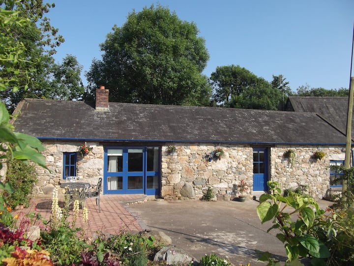 Habitation site in Ballygullen (gorey By., Balloughter Ed)Habitation site · 198 yd
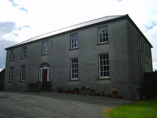 Ballinclay Housefarm house · 622 yd
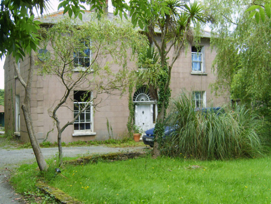 Catholic Church of the Sacred Heartpresbytery/parochial/curate's house · 1271 yd
 Boley HillMountain / peak · 2.0 mi
 Milshoge RockMountain / peak · 2.0 mi
 Barnadown WoodWood · 2.2 mi
 Giants BedNamed rock · 3.1 mi
 Camolin WoodForest · 3.4 mi
 1798 MonumentMemorial · 4.3 mi
 Market HouseHeritage attraction · 4.6 mi
 Saint Brigid's WellSpring · 5.3 mi