What is recorded here
Péicín is recorded as a mountain / peak in County Kerry. Its open map record supplies this location and any linked names or public references.
Péicín is a small mountain in County Kerry, Ireland, with an elevation of approximately 500 to 600 meters. It is part of the broader MacGillycuddy's Reeks range, known for its rugged terrain and ancient geological formations dating back to the Devonian period. The mountain holds local significance as part of Kerry's upland landscape, though specific folklore or cultural references remain undocumented.
Places near here
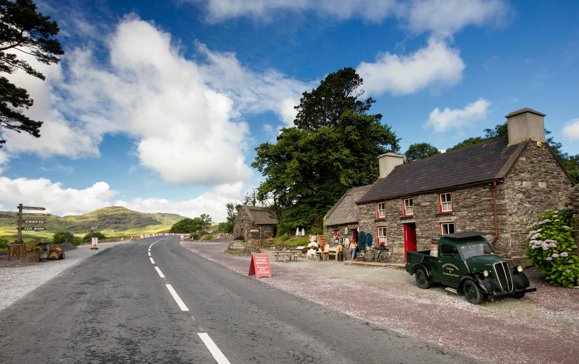 Cuas MaghognaíBay · 576 yd
 Faill a' BhléireCliff · 677 yd
 Wedge tomb in An Com (bar. Uíbh Ráthach)Wedge tomb · 869 yd
 Hut site in Cill Ón ChathaHut site · 1042 yd
 Bogha SínMountain / peak · 1043 yd
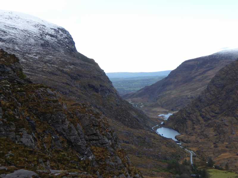 Cnoc Ceannúch (Canuig Mountain)Mountain / peak · 1171 yd
 Chaytor's StablesRuins · 1221 yd
 Liberator "63939" monumentMemorial · 1279 yd
 Cuas Faoi ThalamhCave · 1678 yd
 Tráigh LeagaighBeach / strand · 1.3 mi
 Reglaish Church (in Ruins)Church · 1.5 mi
 Cuas na LéimeCave · 1.7 mi