What is recorded here
Situated on the edge of a high ridge, in pasture, with good views to S, W and N. Monument described in 1973 as a roughly circular-shaped area (dims.41m N-S; 28.5m E-W) enclosed by a high scarp from S-W-NW which is reduced to the low remains of a levelled scarp from NW-N-E-S-SW. The interior has a W-facing slope and a relatively smooth surface. A field fence running NW-SE cuts across the NE portion of the perimeter. The external ground level falls sharply from the base of the scarp at W. An old field bank runs close to the scarp at this point. Monument is visible today as an oval-shaped earthwork on Digital Globe aerial photography.
Compiled by Alison McQueen, Vera Rahilly and Caimin O’Brien.
Date of upload: 22 November 2019
The monument record does not grant public access. Check the route and ask the landowner before entering private land.
- What survives
- Recorded monument
Places near here
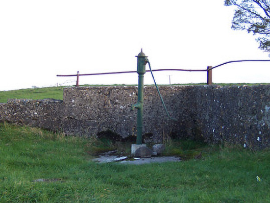 water pumpwater pump · 241 yd
 Donore Bridgebridge · 654 yd
 Syonan CastleCastle · 845 yd
 Partially hachuredFairy fort / earthen ringfort · 1585 yd
 Hut site in CloghanaskawHut site · 1661 yd
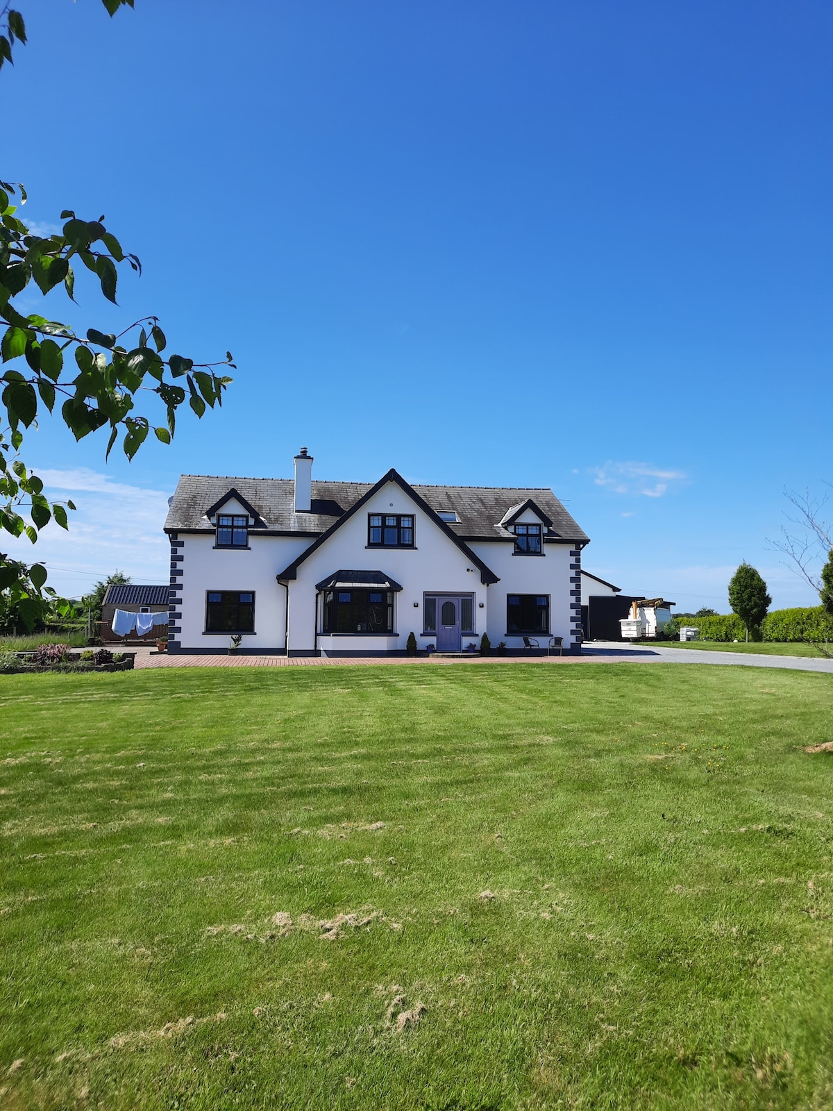 Hachured, Wall, HorseleapCastle, motte and bailey · 1.1 mi
 Kilmalady HillMountain / peak · 2.9 mi
 Chapel HillForest · 5.0 mi
 ToberaskeenSpring · 5.1 mi
 Roughan HillMountain / peak · 5.2 mi
 Charles BianconiMemorial · 6.4 mi
 The Bob Traynor GalleryGallery · 6.5 mi