What is recorded here
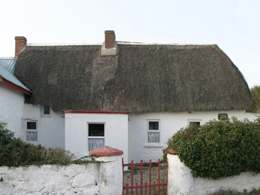
Detached four-bay single-storey lobby entry thatched house with dormer attic, extant 1840, on a rectangular plan off-centred on single-bay single-storey flat-roofed projecting porch. "Improved", pre-1903, producing present composition. Occupied, 1911. Refenestrated, ----. Chicken wire-covered pitched and hipped or hipped gabled oat thatch roof, pressed iron ridge above exposed steel stretchers to ridge having exposed scallops, red brick Running bond off-central chimney stack having stepped capping, and blind stretchers to eaves having blind scallops. Limewashed rendered battered walls. Square-headed off-central door opening into house. Square-headed window openings with concrete or rendered sills, and concealed dressings including timber lintels framing replacement uPVC casement windows replacing two-over-two timber sash windows having part exposed sash boxes. Set back from line of road on a corner site with limewashed cylindrical piers to perimeter having shallow conical capping supporting flat iron gate.
A house identified as an integral component of the vernacular heritage of south County Wexford by such attributes as the rectilinear lobby entry plan form off-centred on an expressed, albeit later porch; the construction in unrefined local materials displaying a pronounced battered silhouette with sections of "daub" or mud suggested by an entry in the "House and Building Return" Form of the National Census (NA 1901; NA 1911); the disproportionate bias of solid to void in the massing; and the high pitched roof showing a degrading oat thatch finish. Having been reasonably well maintained, the elementary form and massing survive intact together with quantities of the original fabric: the introduction of replacement fittings to the openings, however, has not had a beneficial impact on the external expression or integrity of a house making a pleasing visual statement in a rural village street scene.
This does not grant access. Most recorded buildings are privately owned; view them only from public ground unless the owner allows entry.
Places near here
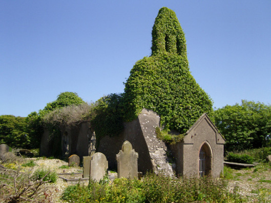 Holy Trinity Church (Carn)church/chapel · 76 yd
 mill (wind)mill (wind) · 142 yd
 Churchtown Beach / The Sandy GripeBeach / strand · 598 yd
 CastleCastle, tower house · 603 yd
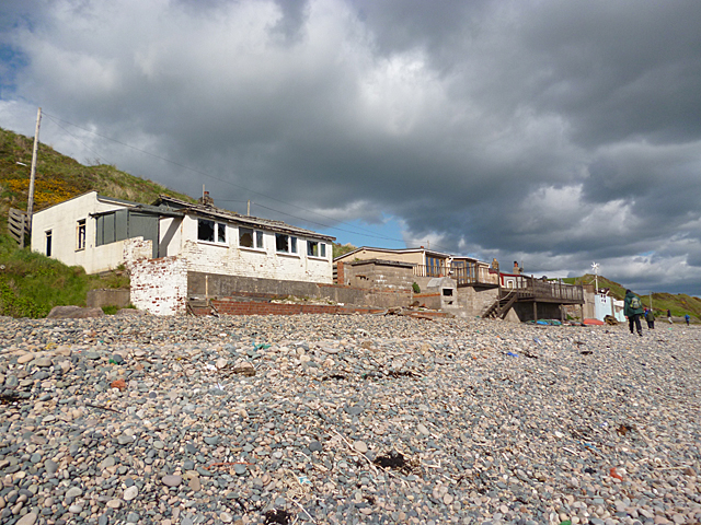 Nethertown BeachBeach / strand · 749 yd
 Lifeboat MemorialMemorial · 930 yd
 The Long StoneArchaeological place · 1023 yd
 The Caravan RockNamed rock · 1075 yd
 Wind Mill StumpWindmill · 1333 yd
 Site of CastleCastle, unclassified · 1421 yd
 Shernock Hill/Knocks HillMountain / peak · 1.2 mi
 The CaamstoneNamed rock · 1.2 mi
Other information
Photo: National Inventory of Architectural Heritage · Website use allowed for educational or private purposes with source credit