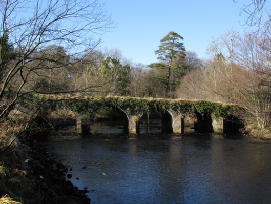
What is recorded here
Six-arch hump back road bridge over river, extant 1838. Now disused. Ivy-covered coursed or snecked limestone walls centred on triangular cutwaters to piers having grass-covered domed pyramidal capping with overgrown coping to parapets. Series of six round arches with limestone ashlar voussoirs. Set in grounds shared with Owenmore spanning Owenmore River with unkempt banks to river.
A bridge not only contributing positively to the group and setting values of the Owenmore estate, but also surviving as an interesting relic of the late eighteenth-century Millbrook estate with the architectural value of the composition confirmed not only by the deep blue limestone dressings demonstrating good quality workmanship, but also by the elegant "sweep" of the arches making a pleasing visual statement at a crossing over the Owenmore River.
This does not grant access. Most recorded buildings are privately owned; view them only from public ground unless the owner allows entry.
Places near here
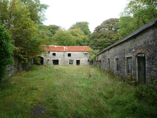 Owenmoremill (water) · 184 yd
 Attishane FortFairy fort / earthen ringfort · 644 yd
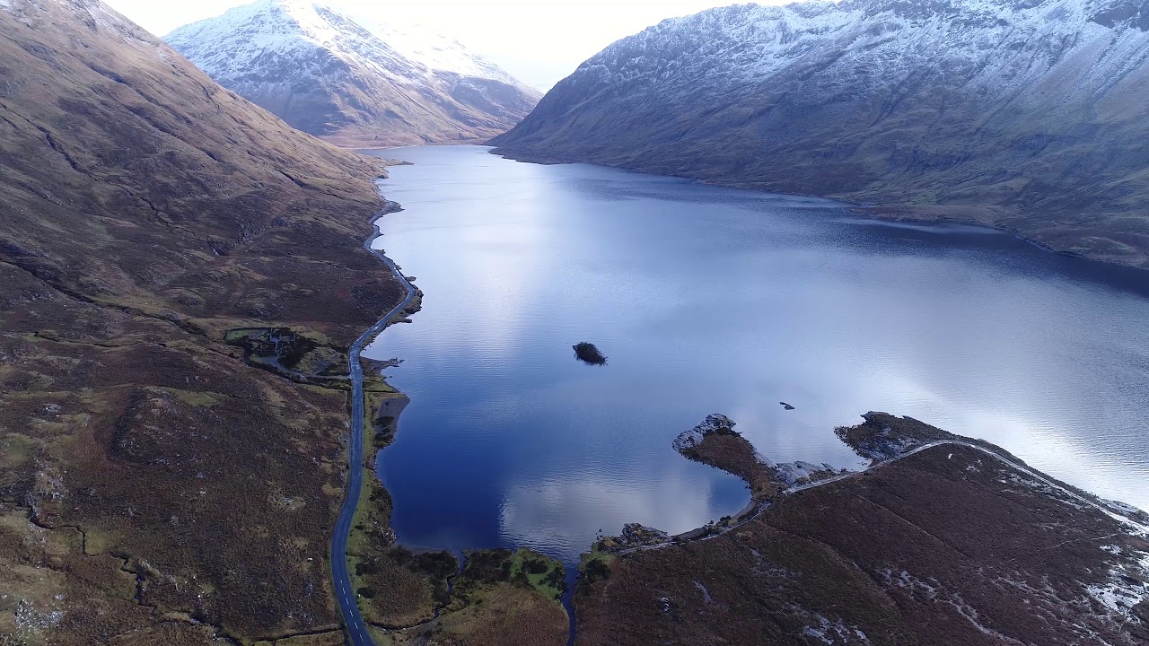 RathconeenEnclosure · 927 yd
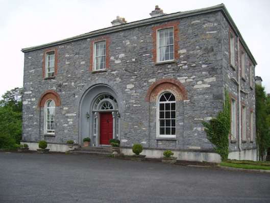 Glenmorecountry house · 1299 yd
 Carn Castle (in Ruins)Castle, unclassified · 1.9 mi
 Rathroe CastleCastle · 3.3 mi
 Grave of the KingsArchaeological place · 5.2 mi
 Castle IslandIslet · 6.4 mi
 Roe IslandIslet · 6.7 mi
 Lisheen Grave YardArchaeological place · 6.7 mi
 Céide FieldsArchaeological place · 11 mi
 BlowholeCliff · 11 mi
Other information
Photo: National Inventory of Architectural Heritage · Website use allowed for educational or private purposes with source credit