
What is recorded here
The hillfort was recently described in the Atlas of Hillforts of Britain and Ireland as following; 'W of the village of Killmallock, circular multiple enclosure surrounding the summit of isolated hill overlooking the Loobagh River 200m to the S. The site has a total footprint of approximately 2.8ha. Bivallate for most of its circuit with widely spaced enclosing elements. No recorded entrance features. Immediately outside the inner enclosing element to the N are a number of earthworks and terraces which may comprise hut structures and relict field divisions. The internal enclosing element survives as a low lying bank. The outer enclosing feature is heavily overgrown and to the E is incorporated into a modern field system. The E side of the interior is overgrown with scrub. There have been no archaeological investigations of this hillfort. The hillfort was not recorded in any historic mapping' (http://hillforts.arch.ox.ac.uk/records/IR0684.html).
Compiled by: Caimin O’Brien
Date of upload: 30 January 2020
The monument record does not grant public access. Check the route and ask the landowner before entering private land.
- What survives
- Recorded monument
Places near here
 bridgebridge · 1121 yd
 Kilbreedy Church (in ruins)Church · 1275 yd
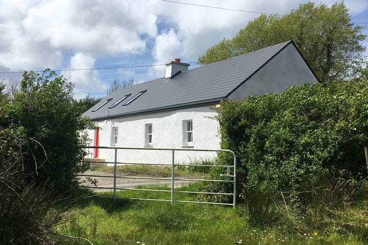 Habitation site in MountblakeneyHabitation site · 1665 yd
 Holy well in Kilbreedy (coshma By., Bruree Ed)Holy well · 1748 yd
 Site of CastleCastle, unclassified · 1.1 mi
 IndicatedCastle, unclassified · 1.6 mi
 King John's CastleCastle · 2.6 mi
 Lady's WellSpring · 2.8 mi
 ToberSpring · 2.9 mi
 Holy Cross CemeteryGraveyard · 3.9 mi
 Ballinvreena LoopVisitor information · 8.5 mi
 Palatine's RockNamed rock · 8.8 mi
Other information
Photo: Credit not shown in the picture search · Rights wording not checked; contact us if this picture should be removed