What is recorded here
In gently undulating pasture, with good views in all directions, on the demesne lands of Attyflin House located 270m to SE, fulacht fia (LI021-177----) lies 133m to the W. No surface remains visible. Not marked on the 1840 ed. OS 6-inch map. Depicted as a tree ring on the 1897 OS 25-inch map and not as an antiquity. Google Earth orthoimage taken 2020 shows the no trace of the monument. Location on the demesne lands of Attyflin House and its cartographic representation on the 25-inch OS map suggests that this was a tree-ring of post 1700 date associated with the landscaped of the demesne lands of Attyflin House.
See attached Google earth orthoimages
Compiled by: Fiona Rooney
Date of upload: 9 July 2020
The monument record does not grant public access. Check the route and ask the landowner before entering private land.
- What survives
- Recorded monument
Places near here
 Attyflin Housecountry house · 335 yd
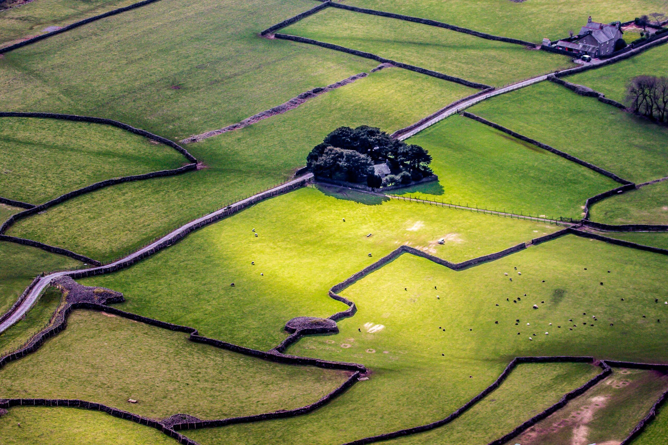 Designed landscape feature in AttyflinDesigned landscape feature · 352 yd
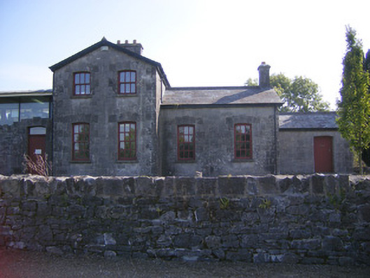 Patrickswell Railway Stationrailway station, signal box · 531 yd
 Settlement desertedSettlement deserted, medieval · 605 yd
 Ballinveala Castle (in ruins)Castle, tower house · 1.8 mi
 Castle FieldCastle, unclassified · 2.2 mi
 European ashEuropean ash · 3.9 mi
 Biodiversity in the Maigue CatchmentVisitor information · 4.5 mi
 Dysert AenghusaHeritage attraction · 4.6 mi
 Monasteranenagh AbbeyHeritage attraction · 5.2 mi
 Kinnoor WellSpring · 5.9 mi
 Flat cemetery in Kiltenan SouthFlat cemetery · 6.4 mi