What is recorded here
Otter Island (South) is a small islet in County Monaghan, Ireland. The open map record names it as a separate islet rather than a mainland point. That distinction matters because water, not soil, defines its shape. The name also preserves a local claim that otters once used the place. Whether they still do is no longer certain. The island remains small enough to overlook and distinct enough to remember.
Otter Island (South) is recorded as a islet in County Monaghan. Its open map record supplies this location and any linked names or public references.
Places near here
 Crane IslandIslet · 327 yd
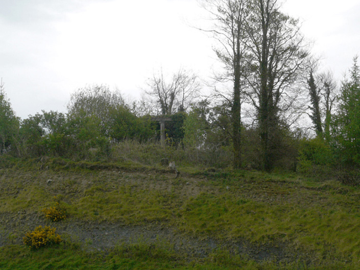 Hope Castlegarden temple · 359 yd
 Otter Island (North)Islet · 458 yd
 Lough MucknoLake and park landscape · 460 yd
 Fortification in ConcraFortification · 811 yd
 Dairy HillMountain / peak · 925 yd
 Church (in Ruins)Church · 930 yd
 Blaney CastleCastle · 1498 yd
 Bawn in OnomyBawn · 1530 yd
 Big Tom Memorial StatueMemorial · 1.0 mi
 Fairy fort / earthen ringfort in AnnadrummanFairy fort / earthen ringfort · 1.4 mi
 John Francis GreenMemorial · 1.4 mi
Other information
Photo: Credit not shown in the picture search · Rights wording not checked; contact us if this picture should be removed