What is recorded here
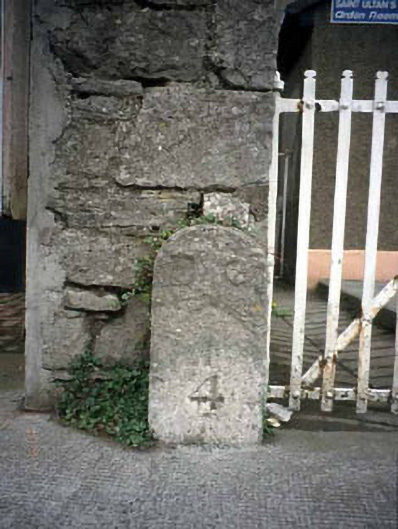
Limestone post, c.1840, with numeral 4. Marked "B.S." on O.S. 1: 2 500 map 955 along with at least four others to periphery of former barracks - probably meaning "boundary stone".
This does not grant access. Most recorded buildings are privately owned; view them only from public ground unless the owner allows entry.
Places near here
 Font in Abbeyland SouthFont · 67 yd
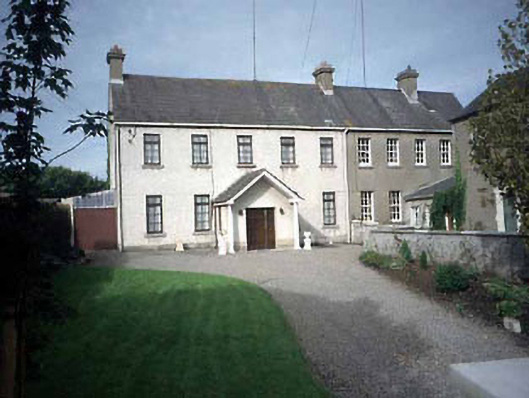 Navan Infantry Barracksbarracks · 103 yd
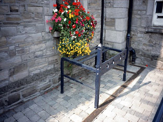 Navan Town Hallbuilding misc · 187 yd
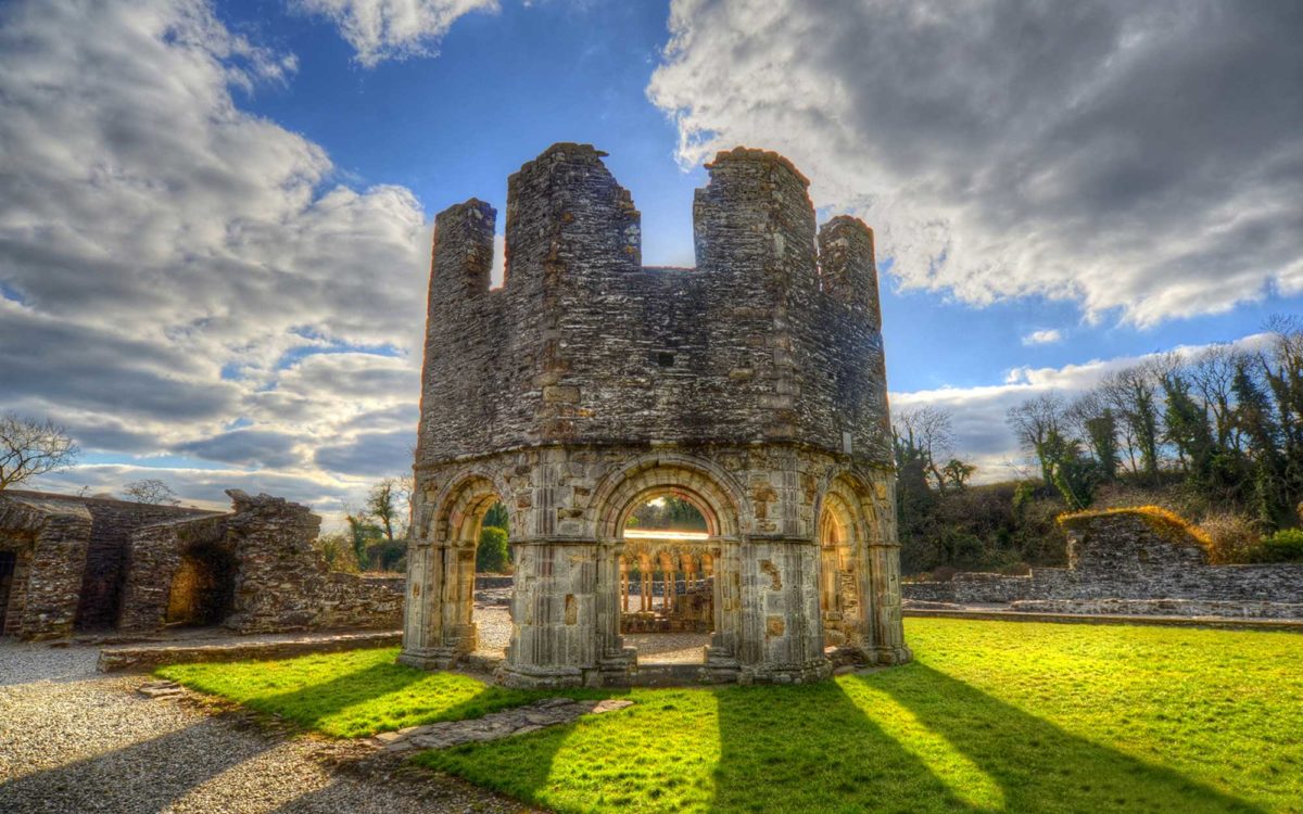 Burnt spread in Abbeyland SouthBurnt spread · 204 yd
 The RampartWood · 451 yd
 CastleCastle, motte · 945 yd
 Nangle CourtMemorial · 1425 yd
 Blackcastle DemesneWood · 1.4 mi
 Donaghmore Round TowerHeritage attraction · 1.4 mi
 Rathaldron Ho.Castle, tower house · 1.7 mi
 Carn HillMountain / peak · 2.5 mi
 BohermeenMountain / peak · 3.7 mi
Other information
Photo: National Inventory of Architectural Heritage · Website use allowed for educational or private purposes with source credit