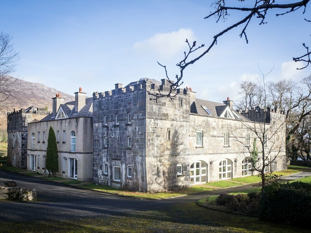
What is recorded here
In a densely wooded area. Named ‘Old Mill’ on the 1838 edition of the OS 6-inch map and depicted as a building, aligned NNE-SSW, spanning a small westerly flowing stream that flows into the nearby Salt Lake to the W. No visible surface trace of the mill was found. However, on the N side of the stream the possible course of the dried-up millrace (L 15m) was noted running parallel to it. Some drystone walling was evident along its course.
Compiled by: Olive Alcock
Date of upload: 13 February 2017
The monument record does not grant public access. Check the route and ask the landowner before entering private land.
- What survives
- Recorded monument
Places near here
 Mass-rock in Ardagh (ballynahinch By.)Mass-rock · 608 yd
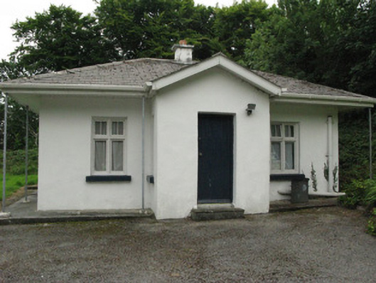 Ardbear Cottagegate lodge · 1057 yd
 Ardbear Bridgebridge · 1125 yd
 Toberbeggan Holy WellHoly well · 1434 yd
 Station House MuseumMuseum · 1541 yd
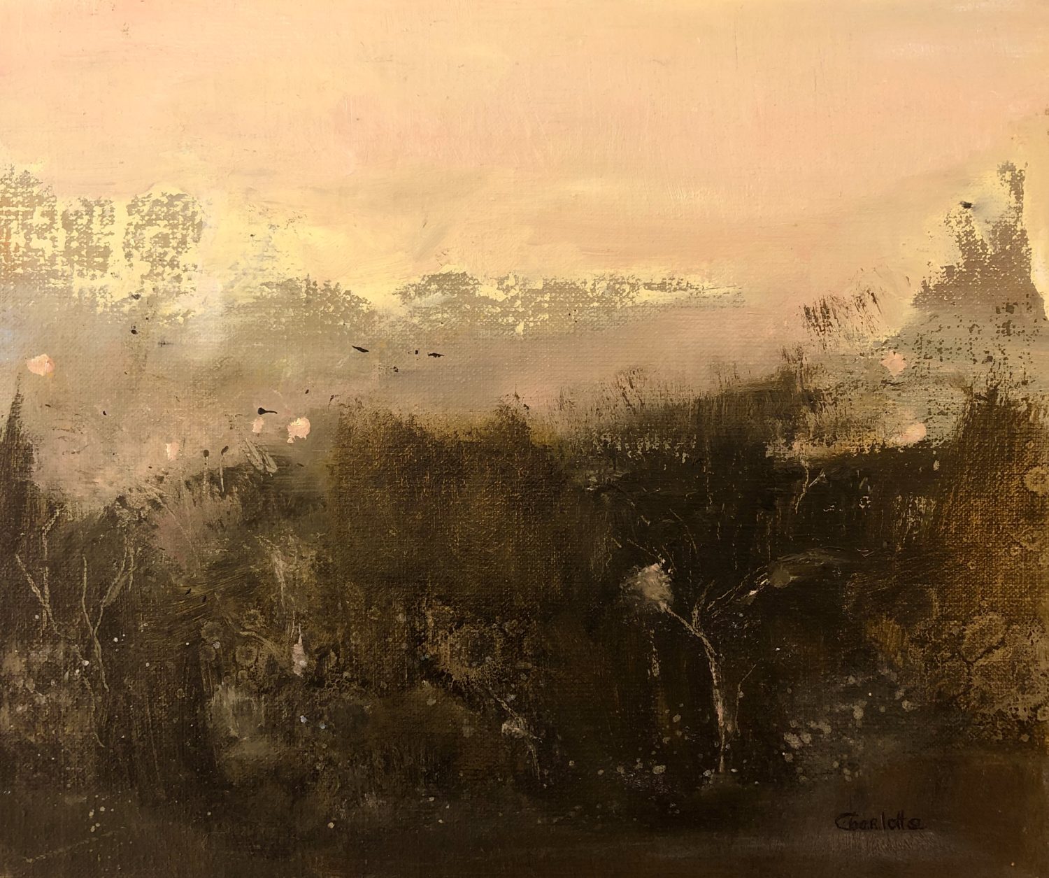 Lavelle Art GalleryGallery · 1745 yd
 Abbeyglen Castle HotelCastle · 1.3 mi
 Alcock and Brown Atlantic CrossingMemorial · 1.4 mi
 English hollyEnglish holly · 3.1 mi
 HawthornHawthorn · 3.1 mi
 Long IslandIslet · 3.2 mi
 Bare IslandIslet · 3.3 mi
Other information
Photo: Credit not shown in the picture search · Rights wording not checked; contact us if this picture should be removed