
What is recorded here
Old Milepost by A67, Merrybent, by No.12, "Cedar Ridge" is shown and named in a reusable Geograph picture. The saved point is the picture's recorded map point.
The picture record does not grant access. Use signed public paths and do not enter private land without permission.
Places near here
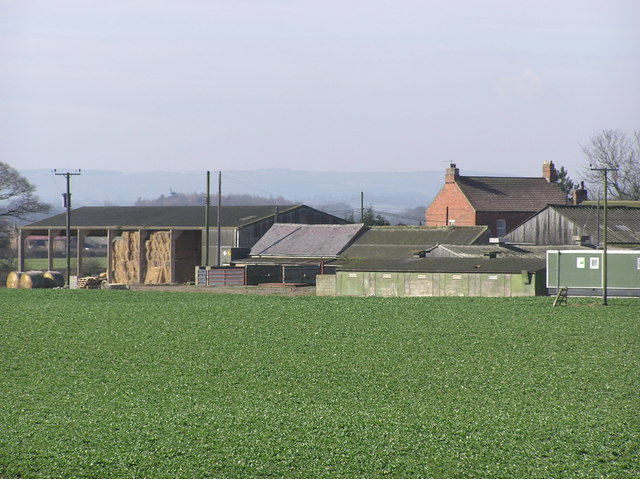 Hall Moor FarmHeritage place · 1492 yd
 Tees Cottage Pumping Station - Beam Engine HouseMuseum · 1532 yd
 Tees Cottage Pumping Station - Visitor Centre and Gas Engine HouseMuseum · 1637 yd
 Cleasby HouseListed building · 1728 yd
 Crabby PlantationForest · 1.6 mi
 Manfield Fox CovertWood · 1.8 mi
 Public Footpath to Ulnaby HallHeritage place · 2.0 mi
 Piercebridge Roman BridgeArchaeological place · 2.0 mi
 Betty Watson's HillMountain / peak · 2.1 mi
 The Civilian SettlementVisitor information · 2.2 mi
 Inscription on Fothergill memorialHeritage place · 2.6 mi
 Park-keeper's offices and clock towerCastle, fort or tower · 2.6 mi
Other information
Photo: Hilary Jones · CC BY-SA 2.0