What is recorded here
Situated on the N bank of the canalised WNW-ESE River Boyne as it passes through Trim, with the stream immediately to the SW. Provision of a town gaol is stipulated in a charter of 1430, but whether one was provided then is not known (Potterton 2005, 136). A prison (ME036-048085-) is associated with the castle from the beginning, but by the seventeenth century it was in disrepair and enticements for the lesee of the manor to construct a new structure at the castle were ineffectual. By c. 1617 the court had become established on the site of Franciscan friary (ME036-048025-) (Hennessy 2004, 12), and the goal had moved to Mill St. by 1684. The form of the Mill Street building is not known, but it had been replaced by a new prison building in 1760 (ibid. 12). This was extended c. 1805 and extended again in 1823 to include a treadmill, 36 cells, 4 debtors’ rooms, 7 dayrooms, a chapel, and a hospital room. This wasn’t enough to sustain it and it was closed in 1833. It seems to have been U-shaped with two or three wings extending from the street frontage towards the river as depicted on the 1836 OS 6-inch map where it is described as the ‘Old Gaol’.
Compiled by: Michael Moore
Date of upload: 9 July 2019
The monument record does not grant public access. Check the route and ask the landowner before entering private land.
- What survives
- Recorded monument
Places near here
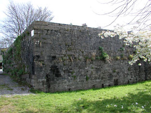
 IndicatedTown defences · 31 yd
 gates/railings/wallsgates/railings/walls · 50 yd
 bridgebridge · 52 yd
 CastleCastle, hall-house · 215 yd
 Fortification in Manorland (1st Division)Fortification · 265 yd
 Trim CastleCastle, Anglo-Norman masonry castle · 281 yd
 Small-leaved ElmSmall-leaved Elm · 3.8 mi
 Wych ElmWych Elm · 3.8 mi
 Tara Open StudioGallery · 7.6 mi
 Kilgar GardensHeritage attraction · 9.3 mi
 Old Bog Road made famous by Teresa Bryton 1868-1943Memorial · 9.4 mi
 MullaghMountain / peak · 9.4 mi