What is recorded here
The stone was found in 1969 in the townland of Cloghabrody (see KK028-101---- for original location record), in a field called the ‘monk's field’ on the W bank of a stream, a tributary of the River Nore, that separates the townlands of Cloghabrody and Columbkille. The church (KK028-043001-) and holy well (KK028-043003-) of Columbkille are on the E side of the stream and it may be that there is a connection between this church site and the ogham stone (pers. comm. Fionnbarr Moore). The stone stood for many years beside the N pier of the arch at the entrance to the largely-demolished chancel of the parish church at Thomastown (former record number KK028-040001-): it was moved to Jerpoint Abbey in 2014 where it has been put on display in the Prior's Room.
McManus (1997, 74-5) describes the stone as follows: ‘It measures approx. 146cm high, 31 cm wide and 20 cm thick. The scores are very deeply cut and the inscription is in extremely good condition. It reads up the left-hand arris across the top and down the right in boustrophedon fashion and continues on the left-hand side rear arris. The reading is (/ indicates the turn of the stone) VEDDELLEMETTO MU/CI/ LOGIDDEAS / AVVI MUNICCONA. . . . which, linguistically, appears to belong to the first half of the sixth century. . . .'
Compiled by: Paul Walsh
Date of upload: 25 January 2016
The monument record does not grant public access. Check the route and ask the landowner before entering private land.
- What survives
- Recorded monument
Places near here
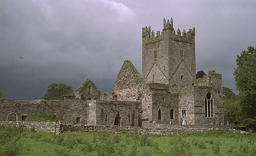 Jerpoint AbbeyHeritage attraction · 29 yd
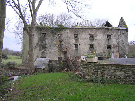 Abbey Housemill (water) · 154 yd
 Church in JerpointchurchChurch · 511 yd
 Holy WellSpring · 556 yd
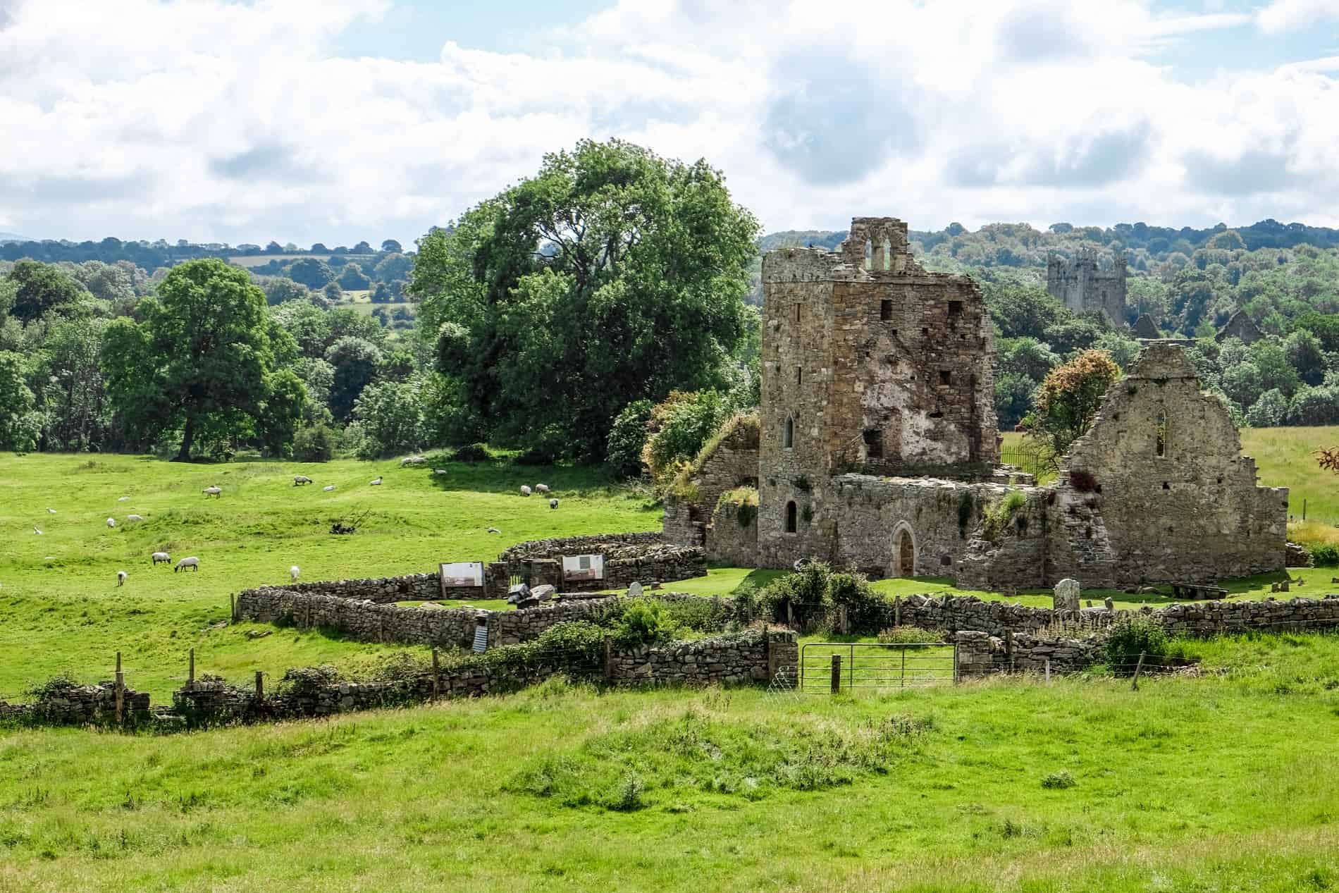 Enclosure in Jerpoint WestEnclosure · 700 yd
 Enclosure in JerpointabbeyEnclosure · 1129 yd
 Fox CovertForest · 1.1 mi
 Oliver (Ollie) WalshMemorial · 1.2 mi
 The Yellow GateMemorial · 1.4 mi
 Dangan WoodForest · 1.4 mi
 Dysart Castle (in Ruins)Castle, tower house · 1.6 mi
 Bawn in LeganBawn · 1.7 mi