What is recorded here
According to Crawford (1912, 235), a defaced ogham pillar '4 ft. high...carved with a rude cross, in a circle' was situated 'in a killeen' [probably KE047-078----] 2 miles SE of Castlemaine station. Macalister (1902, 50) recorded that Windele discovered an inscription on the stone which read 'COVTET'. The 'greater part of the original surface' was destroyed by fire, leaving only the upper portion which 'displays a few broad and very shallow grooves, apparently artificial' (ibid.). There are no visible remains of this ogham stone. Another possible ogham stone (KE047-068----) is c. 750m to the S.
Compiled by: Elizabeth Byrne, Ursula Egan and Sheila Ronan, Archaeological Survey Unit, University College, Cork.
Date of upload: 31 January 2011
This remains an important historical record, but the official description says the monument is no longer visible or has been destroyed. The monument record does not grant public access. Check the route and ask the landowner before entering private land.
- What survives
- No visible remains or recorded as destroyed
Places near here
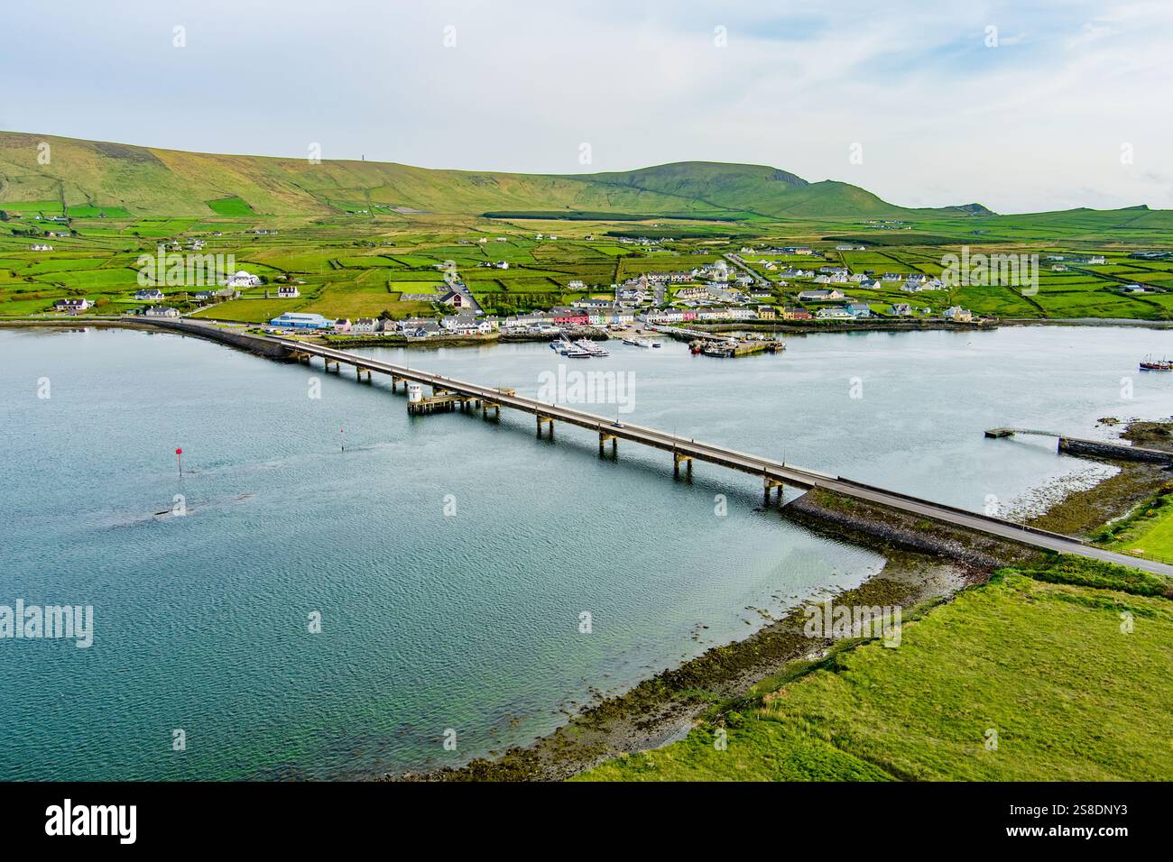 Man-made underground passage in ArdywanigMan-made underground passage · 943 yd
 Mass-rock in KillaclohaneMass-rock · 1.1 mi
 Knocknamucklagh Ho.Country house · 1.7 mi
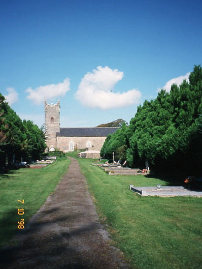 Saint Carthage's Church (Kiltallagh)church/chapel · 2.0 mi
 Site of Castle MaineCastle, Anglo-Norman masonry castle · 2.1 mi
 Cloonmealane CastleCastle · 2.3 mi
 The Kerry Creamery ExperienceHeritage attraction · 2.7 mi
 Ballygamboon Forest Recreation AreaWood · 3.7 mi
 KnockmoyleMountain / peak · 4.8 mi
 Clash IslandIslet · 5.0 mi
 Cloon IslandIsland · 5.5 mi
 Dunloe Ogham StonesHeritage attraction · 6.5 mi