What is recorded here
National Monument in state guardianship No. 304. Situated at the edge of the road on level ground overlooking the Potter's River valley. A large granite slab with its flat surface now uppermost (L. 1.48m; Wth 0.4-0.5m; T 0.31m). The inscription has been read by Macalister (1945, 51-2, no. 47) as 'NETA-CARI NETA-CAGI. Named 'Cromlech in ruins (called the Long Stone)' on the 1838 OS 6-inch map and known locally as 'the giant's stone'. (Grogan and Kilfeather 1997, no. 1006)
Compiled by: Nora White
Date of upload: 3 September 2016
The monument record does not grant public access. Check the route and ask the landowner before entering private land.
- What survives
- Recorded monument
Places near here
 Castletimon Church (in ruin)Church · 139 yd
 Enclosure in CastletimonEnclosure · 784 yd
 Enclosure in Ballynagran (arklow By., Dunganstown East Ed)Enclosure · 1193 yd
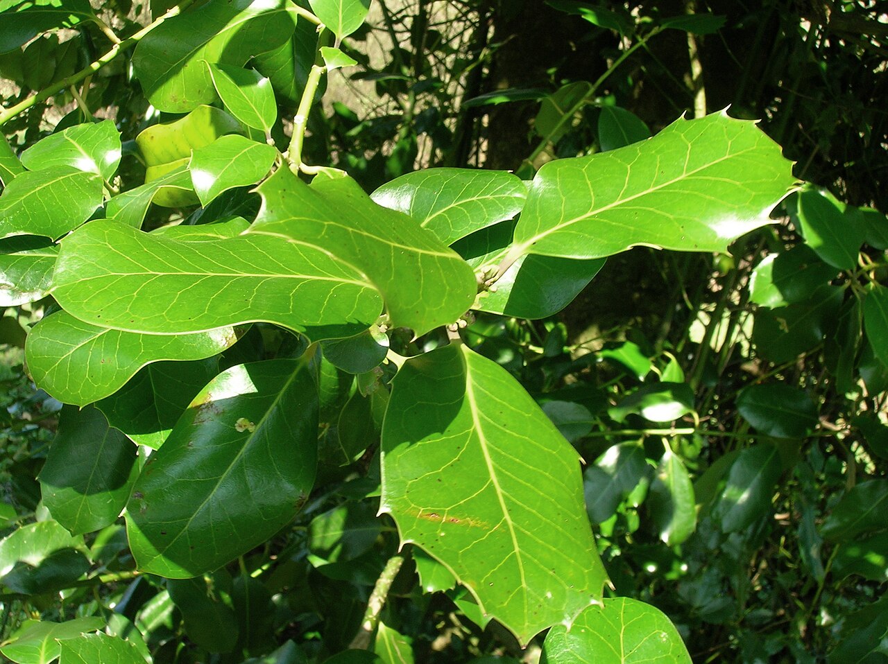 Highclere hollyHighclere holly · 1527 yd
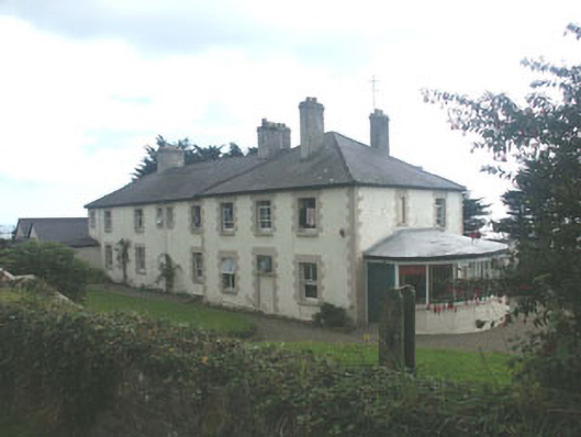 Saint Michael's Housecoastguard station · 1.2 mi
 European YewEuropean Yew · 1.2 mi
 Brittas BayBeach / strand · 1.6 mi
 Furzeditch BeachBeach / strand · 1.9 mi
 Glen Beach Cliff WalkWalking route · 5.1 mi
 Viewing TowerHeritage attraction · 6.4 mi
 Carrick MountainMountain / peak · 6.7 mi
 Meeting of the WatersHeritage attraction · 6.8 mi