What is recorded here
Identified in the archaeological EIS for the Adare-Annacotty Road (N20) by O’Rahilly in 1990. Test excavations undertaken by Ken Hanley in 1991 to the NW of Killasragh Children’s Burial Ground (LI021-025002-) the results of which were summarised as following; ‘Two areas were opened (c. 9m x 8m and 3m sq.) to investigate an apparent trackway which ran through the burial ground complex. Three sherds were found giving a 13th/14th-century date. Evidence for pre-trackway activity was also found’ (www.excavations.ie 1991, Site No. 086).
Compiled by: Fiona Rooney
Date of upload: 21 July 2020
The monument record does not grant public access. Check the route and ask the landowner before entering private land.
- What survives
- Recorded monument
Places near here
 Killasragh Infants' Burial GroundArchaeological place · 6 yd
 Settlement desertedSettlement deserted, medieval · 71 yd
 Attyflin Housecountry house · 687 yd
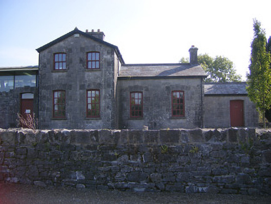 Patrickswell Railway Stationrailway station, signal box · 967 yd
 Ballinveala Castle (in ruins)Castle, tower house · 1.7 mi
 Fanningstown Castle (in ruins)Castle, tower house · 2.4 mi
 Villiers WellSpring · 3.7 mi
 Biodiversity in the Maigue CatchmentVisitor information · 4.2 mi
 Dysert AenghusaHeritage attraction · 4.3 mi
 European ashEuropean ash · 4.8 mi
 St James's WellSpring · 4.8 mi
 Monasteranenagh AbbeyHeritage attraction · 5.1 mi