What is recorded here
In the SW part of a rath (MA062-036----).
Quarrying of the S portion of the rath has created a vertical section face (H 3.5m) at W close to a N−S field fence/townland boundary. Exposed in the section face at a depth of 0.65m below ground surface, is a horizontal stone slab or roof lintel, and directly below that, a vertical column (H 1.6m) of stones, one stone wide, which may be the drystone side wall of a Man-made underground passage passage or chamber. Flanking the N side of this wall, is a fill of brown earth (Wth 1m), which appears to relate to the Man-made underground passage as it differs from the natural sandy gravelly soil exposed elsewhere in the section face. In an unquarried part of the rath interior, close to the field fence, 3m to SW of the section face, a single large slab, possibly a roof lintel, protrudes from the sod-covered ground surface.
Compiled by: Jane O’Shaughnessy
Date of upload: 25 November 2020
The monument record does not grant public access. Check the route and ask the landowner before entering private land.
- What survives
- Recorded monument
Places near here
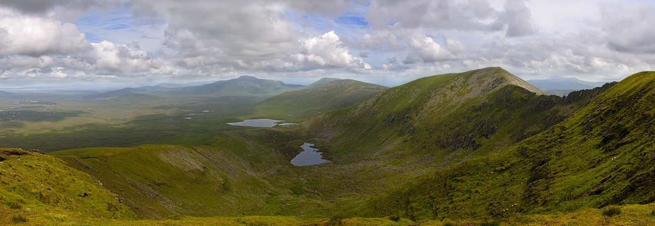 IndicatedFairy fort / earthen ringfort · 16 yd
 Enclosure in LagcurraghEnclosure · 374 yd
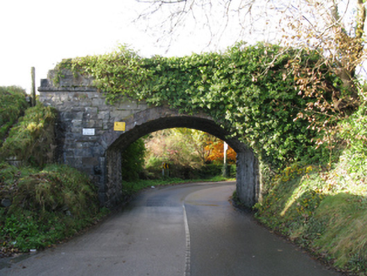 bridgebridge · 750 yd
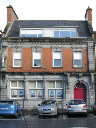 Allied Irish Bankbank/financial institution · 940 yd
 Procession Of The SoulsMemorial · 941 yd
 Youth Memorial GardenMemorial · 993 yd
 Brabazon WoodsForest · 1497 yd
 HawthornHawthorn · 1.7 mi
 Castle (in Ruins)Castle, unclassified · 2.0 mi
 Hennigan's Heritage CentreHeritage attraction · 2.1 mi
 Thorn CaveCave · 4.0 mi
 Kiltimagh MuseumMuseum · 7.4 mi