What is recorded here
'The site is identified as a sub-circular setting of stones with internal dimensions of 4m N-S and 4.7m E-W. The wall, comprised of limestone blocks up to 1.2m in length and of sandstoen boulders up to 0.8m, would appear to have been 1m to 1.7m wide. There are possible entrances at the east and northeast.'
The above description is derived from R. Sherlock, Northwest Co. Cavan Survey. An archaeological survey of northwest Cavan: the other Burren (2007), p. 146.
Date of upload: 15 November 2012
The monument record does not grant public access. Check the route and ask the landowner before entering private land.
- What survives
- Recorded monument
Places near here
 Rocking StoneArchaeological place · 492 yd
 Druidical AltarArchaeological place · 524 yd
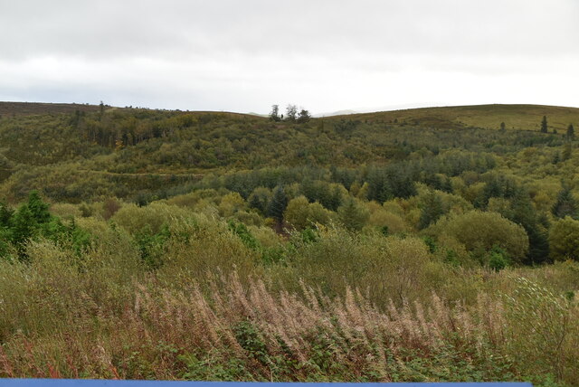 Cavan Burren ParkForest · 995 yd
 Boulder GraveyardArchaeological place · 1070 yd
 Dolines/SinkholesCave · 1111 yd
 Cavan BurrenHeritage attraction · 1190 yd
 Legnaveagh SinkholeCave · 1221 yd
 BurrenMountain / peak · 1254 yd
 DerreenMountain / peak · 1667 yd
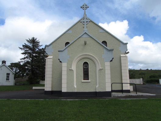 St Felim’s Roman Catholic Churchchurch/chapel · 1.2 mi
 Marlbank ViewpointViewpoint · 1.3 mi
 SETTLEMENT: STONE ENCLOSURES [FIELD SYSTEM] AND HOUSE PLATFORMS in ClyhannaghSETTLEMENT: STONE ENCLOSURES [FIELD SYSTEM] AND HOUSE PLATFORMS · 1.9 mi