What is recorded here
Ballymacane castle in County Wexford appeared on the Down Survey barony map of Forth in 1656-8 with a bawn, though no bawn has been identified. A small field west of the house, about twenty-five metres across, is said to be cobbled and may mark the lost enclosure. That plain stone rectangle may have held carts, livestock or people waiting for the castle to answer.
Ballymacane castle (WX053-005001-) is depicted on the Down Survey (1656-8) barony map of Forth as if it had an enclosure or bawn, and the small field (dims c. 25m NE-SW; c. 25m NW-SE) W of the house is said to be cobbled and may be the site of the bawn. For the Down Survey barony map see this web-page accessed on 25 February, 2014 http://downsurvey.tcd.ie/down-survey-maps.php#bm=Forth&c=Wexford
Compiled by: Michael Moore
Date of upload: 21 March, 2014
The monument record does not grant public access. Check the route and ask the landowner before entering private land.
- What survives
- Recorded monument
Places near here
 Ballymacane CastleCastle, unclassified · 17 yd
 IndicatedField system · 576 yd
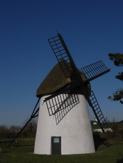 mill (wind)mill (wind) · 666 yd
 Windmill (Corn) (Disused)Windmill · 667 yd
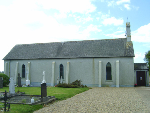 Saint Catherine's Catholic Churchchurch/chapel · 779 yd
 Castle (in ruins)Castle, tower house · 824 yd
 Wilson's MoorWood · 1427 yd
 Sigginstown Island (Great)Island · 1.1 mi
 The HamBay · 1.1 mi
 Sigginstown Island (Little)Islet · 1.3 mi
 The Bull RockForest · 2.5 mi
 1798 Memorial PlaqueMemorial · 2.6 mi