What is recorded here
Toal's Cave in Longmore, County Antrim, is a named cave whose human history remains uncertain. It is not a proven ancient monument, but a living cave that may have given shelter, frightened travellers or simply swallowed rainwater for centuries. The name Toal suggests someone local knew it well enough to speak it aloud.
The official Northern Ireland record identifies this as NON-ANTIQUITY: TOAL'S CAVE. Recorded period: UNCERTAIN. The official map point was placed at the centre of the recorded archaeological site from the source map reference.
The monument record does not grant public access. Check the route and ask the landowner before entering private land.
- What survives
- Recorded monument
Places near here
 ENCLOSURE in LongmoreENCLOSURE · 401 yd
 2 ENCLOSURES & FIELD BOUNDARIES in Longmore2 ENCLOSURES & FIELD BOUNDARIES · 844 yd
 Mid HillMountain / peak · 2.5 mi
 CarncormickMountain / peak · 3.0 mi
 SlemishMountain / peak · 3.9 mi
 The Thatch InnPublic House · 4.7 mi
 Cranny FallsWaterfall · 5.6 mi
 Glenarm ForestForest · 6.1 mi
 Millennium MilepostVisitor information · 6.2 mi
 CASTLE & HILLTOP ENCLOSURE: DOONBOUGHT FORT in DoonboughtCASTLE & HILLTOP ENCLOSURE: DOONBOUGHT FORT · 6.3 mi
 Carnlough HarbourHarbour/ Pier · 6.3 mi
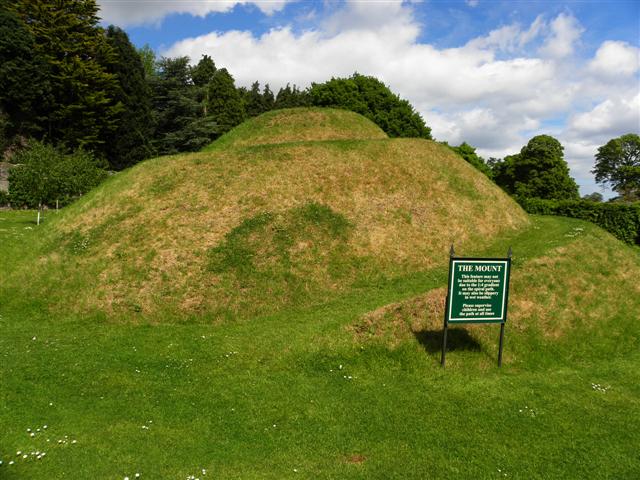 The MountViewpoint · 6.4 mi