
What is recorded here
No indicated is a D-shaped fairy fort at the north-west end of a drumlin ridge in County Leitrim, Ireland. Its shallow scarp, narrow fosse and outer bank still trace a small enclosed life, though straight field cuts have chopped across three sides. The coniferous forest holds the shape unchanged, waiting for someone to walk the grassy ring and measure how much of the old boundary remains visible.
Located towards the NW end of a NW-SE drumlin ridge. This is a grass-covered D-shaped area (dims 33.4m E-W; 24m N-S) defined by a slight scarp (H 0.2-0.3m), with an outer fosse (Wth of top 4.6m; D 0.3m) and external bank (Wth of base 5.6m; ext. H 1m) SW-NW. The monument has some scrub on the perimeter and is truncated by straight field banks and ditches at N, E and S, but it remains unplanted in a coniferous forest (Bing c. 2013).
The above description is derived from 'The Archaeological Inventory of County Leitrim' compiled by Michael J. Moore (Dublin: Stationery Office, 2003). In certain instances the entries have been revised and updated in the light of recent research.
Date of upload: 23 September 2008
The monument record does not grant public access. Check the route and ask the landowner before entering private land.
- What survives
- Recorded monument
Places near here
 Enclosure in BeaghEnclosure · 1656 yd
 IndicatedSweathouse · 1677 yd
 St. Michaels ChurchChurch · 1.0 mi
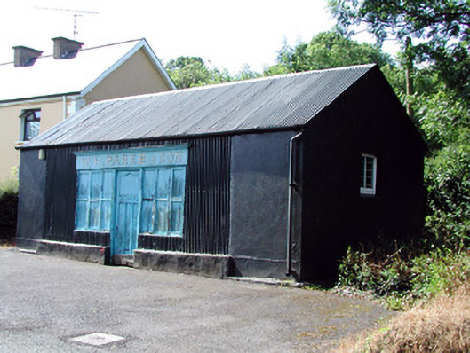 W.H. Parke and Sonshop/retail outlet · 1.4 mi
 Old HallCastle, hall-house · 2.3 mi
 MoteCastle, motte · 3.2 mi
 Green IslandIslet · 3.4 mi
 Cullentra ForestForest · 4.2 mi
 Trawane BayBay · 4.7 mi
 Carrane HillCliff · 4.7 mi
 InnisfreeIslet · 4.8 mi
 SlishwoodWood · 5.1 mi
Other information
Photo: Credit not shown in the picture search · Rights wording not checked; contact us if this picture should be removed