What is recorded here
The National Monuments Record of Wales records Mynydd Aberdare Parish Boundary Track as Trackway from the Post Medieval period. The saved point comes from the official national record. Inclusion does not by itself mean that the public may enter the place.
The historic-place record does not grant public access. Check current conditions and ownership before entering land or a building.
Places near here
 Mynydd AberdareMountain / peak · 140 yd
 Mynydd Aberdare Parish Boundary Stone IBoundary Stone · 483 yd
 Level, N of Winch FawrLevel · 966 yd
 Calfaria Chapel, Heolgerrig, Merthyr TydfilChurch, cross or graveyard · 1091 yd
 Calfaria, Heolgerrig, Merthyr Tudful; Calfaria, Heolgerrig, Merthyr Tydfil; Calfaria, Pant-y-Celyn Road, Penrheolgeryg, Heolgerrig, Ward 2Chapel · 1155 yd
 Scrambling into the forestForest or wood · 1502 yd
 Woodland off B4276Forest or wood · 1.2 mi
 Twyn GwersyllfaMountain / peak · 1.2 mi
 Clock tower, Kevin Ryan Court, Merthyr TydfilCastle, fort or tower · 1.5 mi
 Multilingual welcome, Cyfarthfa Park and Museum, Merthyr TydfilHeritage place · 1.6 mi
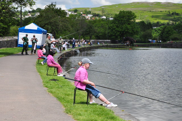 School Fishing Competition, Cyfarthfa Castle Lake - Merthyr TydfilCastle, fort or tower · 1.6 mi
 War Memorial, Cefn Coed y CymmerHeritage place · 1.7 mi