What is recorded here
Maynblosse is a rare double chamber where two churches, two graveyards and two wells overlap inside one red sandstone shell. The first was a small dark room for St Johanis of Moyvelusk. The second is a tall bright hall for Mallusk. The old floor still lies beneath the new one, and the old well still gives water beside the new well. To enter Maynblosse is to walk through both ages at once.
The official Northern Ireland record identifies this as MULTIPERIOD CHURCH & GRAVEYARD with WELL, Man-made underground passage & BULLAUN: VICARAGE OF MAYNBLOSSE, ST JOHANIS OF MOYVELUSK. Recorded period: MED/L.MED; MEDIEVAL; E.CHRIST.; POST-MED; UNCERTAIN. The official map point was placed at the centre of the recorded archaeological site from the source map reference.
Medieval Christian church and graveyard with a bullaun and man-made underground passage, dating to the medieval period. Its multiperiod use and associated features suggest religious and possibly ceremonial significance in the local medieval landscape.
The monument record does not grant public access. Check the route and ask the landowner before entering private land.
- What survives
- Recorded monument
Places near here
 Possible enclosure and boundary in CraigaroganPossible enclosure and boundary · 583 yd
 ENCLOSURE in Grange OF MalluskENCLOSURE · 876 yd
 FORTIFIED HOUSE & EARTHWORK DEFENCES (unlocated) in Grange OF MalluskFORTIFIED HOUSE & EARTHWORK DEFENCES (unlocated) · 1468 yd
 Sentry Hill Historic HouseMuseum · 1.1 mi
 CHURCH? in BallywonardCHURCH? · 1.2 mi
 CASTLE (unlocated) in BallyvastonCASTLE (unlocated) · 1.6 mi
 Patterson's Spade MillMill · 2.0 mi
 Carnmoney HillMountain / peak · 2.8 mi
 Bellevue Area of Special Scientific InterestCliff · 2.9 mi
 Squires HillMountain / peak · 2.9 mi
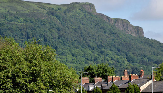 Cave HillCliff · 3.2 mi
 Cave Hill TrailWalking route · 3.2 mi