
What is recorded here
No surface remains visible of watermill depicted on a map of Kilmallock town dating from c. 1600 (TCD, MS 1209/62). On this map two watermills (LI047-022065-) in close proximity to each other are shown standing on the N bank of the River Loobagh to the E of a multi-arched stone bridge (LI047-022057-) at N end of Wolfe Tone Street on the outskirts of the walled town of Kilmallock (LI047-022----). On the 1840 ed. OS 6-inch map 'Mullenshane Corn Mill' is depicted standing in the area close to the two mills on the town map of Kilmallock dating from c. 1600.
Compiled by: Caimin O'Brien
Date of upload: 30 September 2019
The monument record does not grant public access. Check the route and ask the landowner before entering private land.
- What survives
- Recorded monument
Places near here
 Deebert Househouse · 79 yd
 Water millWater mill, unclassified · 100 yd
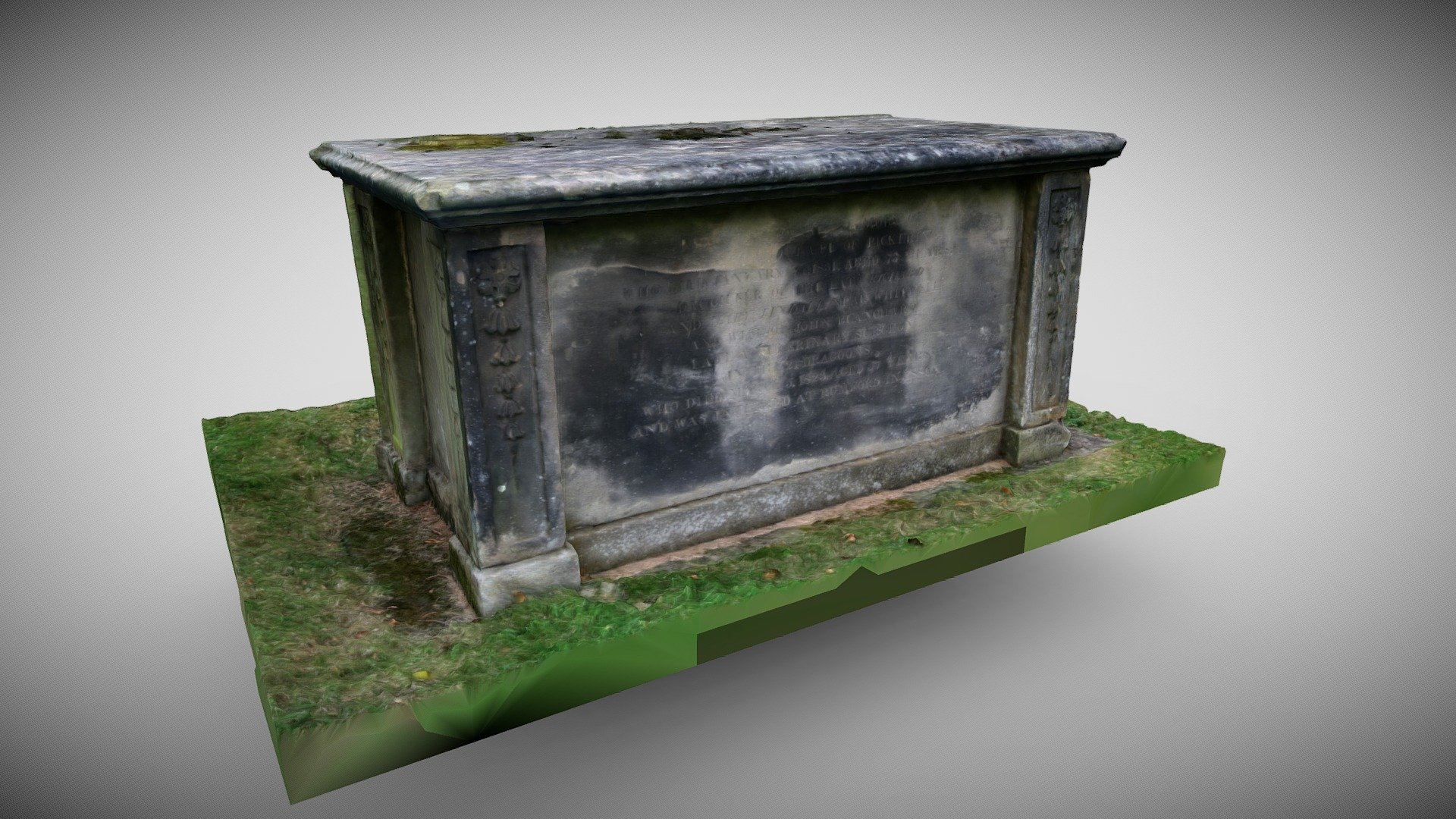 TombTomb, chest tomb · 291 yd
 Round TowerRound tower · 304 yd
 Kilmallock AbbeyHeritage attraction · 388 yd
 King John's CastleCastle · 446 yd
 Kings CastleCastle, tower house · 447 yd
 Site of Castle CooteBawn · 842 yd
 St Bridget's WellSpring · 1.7 mi
 Lady's WellSpring · 3.3 mi
 Ballyhoura tourist informationVisitor information · 5.1 mi
 Holy Cross CemeteryGraveyard · 5.6 mi
Other information
Photo: Credit not shown in the picture search · Rights wording not checked; contact us if this picture should be removed