What is recorded here
Mullaghash reaches an elevation of approximately 400 meters and is part of the low-lying mountainous terrain characteristic of County Derry. It lies within the broader Sperrin Mountains range, composed largely of volcanic basalt from the Carboniferous period. While not prominent in folklore, it contributes to the regional landscape that has historically supported agricultural and pastoral communities.
Places near here
 Ballydonegan SweathouseVisitor information · 1488 yd
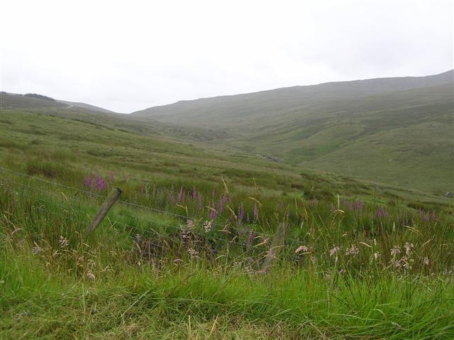 Barnes TopMountain / peak · 1.3 mi
 CASHEL in MoneyhoghanCASHEL · 1.6 mi
 ENCLOSURE?: DOON in CoolnamonanENCLOSURE?: DOON · 1.7 mi
 Meenard Mtn W TopMountain / peak · 2.3 mi
 Banagher Presbyterian ChurchChurch · 3.0 mi
 Banagher Glen - Forest TrailWalking route · 3.2 mi
 Learmount WoodWood · 3.8 mi
 Learmount CastleCountry House · 3.9 mi
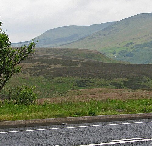 Sperrin MountainsMountain range · 5.3 mi
 Sperrins landscapeHeritage attraction · 5.4 mi
 Dungiven CastleCastle · 5.4 mi