What is recorded here
MOUND is a rath in County Down, Ireland, where human hands shaped earth into a visible marker before written records existed. The provided facts describe North American mound builders rather than this Irish site, so the local purpose remains unknown. Perhaps people gathered there to bury loved ones, celebrate seasons, or claim ownership of the land. The soil still holds that forgotten intention, waiting for someone to listen instead of measure.
The official Northern Ireland record identifies this as MOUND - rath?. Recorded period: UNCERTAIN. The official map point was placed at the centre of the recorded archaeological site from the source map reference.
The monument record does not grant public access. Check the route and ask the landowner before entering private land.
- What survives
- Recorded monument
Places near here
 ENCLOSURE in BallyginnyENCLOSURE · 396 yd
 ENCLOSURE in BallyloughlinENCLOSURE · 409 yd
 MAGHERA CHURCH AND ROUND TOWER in CarnacavillMAGHERA CHURCH AND ROUND TOWER · 1642 yd
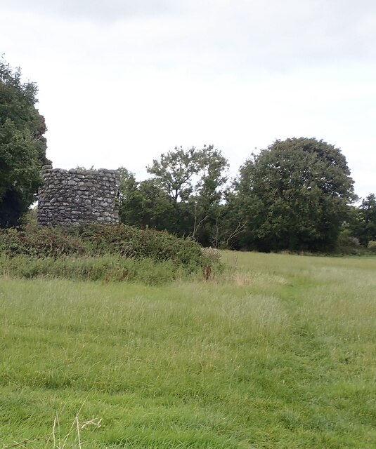 Maghera Church & Round TowerVisitor information · 1644 yd
 Maghera Parish ChurchChurch · 1645 yd
 Dundrum Inner BayPicnic place · 1.1 mi
 Murlough Nature ReserveNature reserve · 1.4 mi
 Murlough National Nature ReserveNature reserve · 1.7 mi
 Murlough South End Nature Trail, MurloughWalking route · 1.7 mi
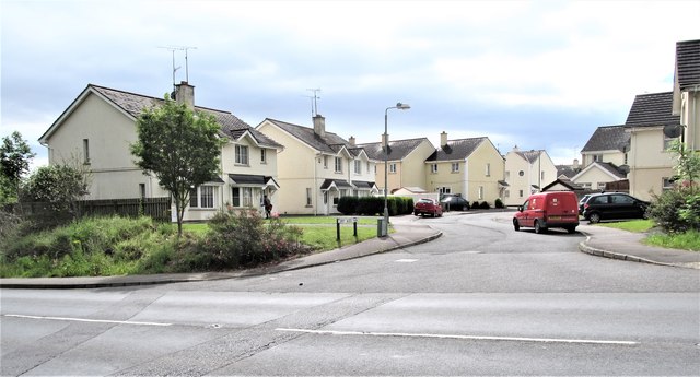 Corry Wood TrailWalking route · 1.7 mi
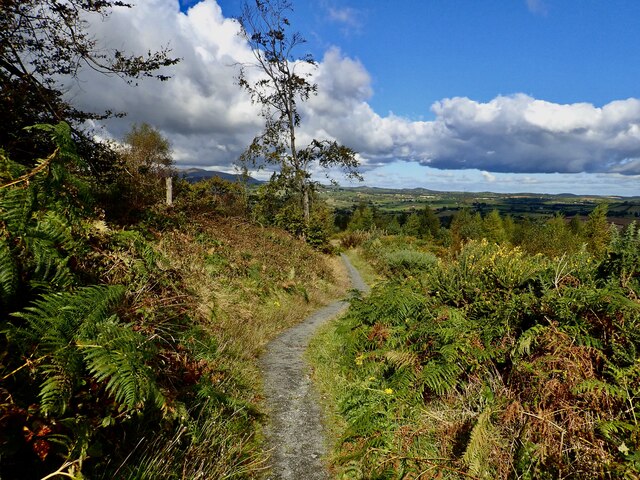 Bunkers HillMountain / peak · 1.8 mi
 Dundrum CastleHeritage attraction · 1.9 mi