What is recorded here
The official Northern Ireland record identifies this as MOUND, possibly with cist. Recorded period: BRONZE AGE; PREHISTORIC. The official map point was placed at the centre of the recorded archaeological site from the source map reference.
Bronze Age burial mound, possibly containing a cist; represents prehistoric funerary practices in the region.
The monument record does not grant public access. Check the route and ask the landowner before entering private land.
- What survives
- Recorded monument
Places near here
 ENCLOSURE in BallymenaghENCLOSURE · 1.2 mi
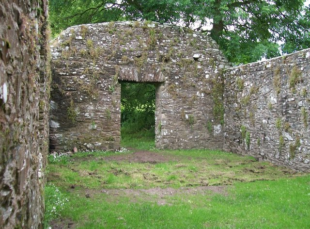 CHURCH, HOLY WELLS & BATH HOUSES: STRUELL WELLS in StruellCHURCH, HOLY WELLS & BATH HOUSES: STRUELL WELLS · 1.4 mi
 Struell WellsRuins · 1.4 mi
 St Patrick's WayWalking route · 1.6 mi
 St Patrick's StatueMemorial · 1.6 mi
 AP Cropmark- Possible large oval- shaped enclosure in Ballybrannagh LowerAP Cropmark- Possible large oval- shaped enclosure · 1.8 mi
 BAWN (unlocated) in Bishops CourtBAWN (unlocated) · 1.8 mi
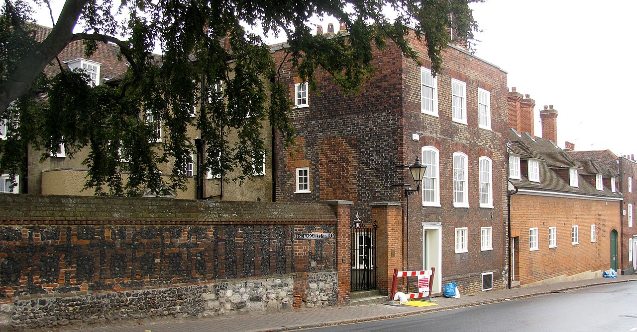 CASTLE (unlocated) in Bishops CourtCASTLE (unlocated) · 1.9 mi
 ABBEY; GRAVEYARD; MORTUARY HOUSES; COFFIN LID etc. : SAUL ABBEY in SaulABBEY; GRAVEYARD; MORTUARY HOUSES; COFFIN LID etc. : SAUL ABBEY · 2.1 mi
 Downshire Hospital Highway to HealthWalking route · 2.2 mi
 Quoile PondageVisitor information · 2.8 mi
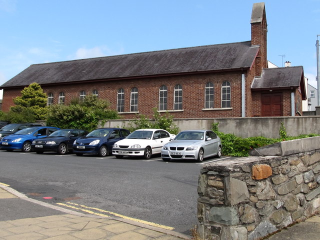 Scotch Street Car ParkVisitor information · 2.9 mi