What is recorded here
Crannog or mound, the distinction still evades definition. What is certain is that human hands shaped the earth in Derrybeg during the early Christian period, building a platform or marker now reduced to a ridge in the grass. The shape resists explanation, yet it remains scheduled and visible, a small defiance against forgetting.
The official Northern Ireland record identifies this as MOUND; possibly CRANNOG. Recorded period: E.CHRIST.; UNCERTAIN. Recorded protection: Scheduled. The official map point was placed at the centre of the recorded archaeological site from the source map reference.
A possible crannog or early medieval artificial island; significance uncertain due to limited identification and contextual information.
The monument record does not grant public access. Check the route and ask the landowner before entering private land.
- What survives
- Recorded monument
Places near here
 ENCLOSURES (2) in DerrybegENCLOSURES (2) · 628 yd
 ENCLOSURE in GlasmullaghENCLOSURE · 815 yd
 Old Church RuinsRuins · 1375 yd
 The Ice HouseHeritage attraction · 1719 yd
 Castle CooleCountry House · 1.2 mi
 Cleenish IslandIsland · 1.4 mi
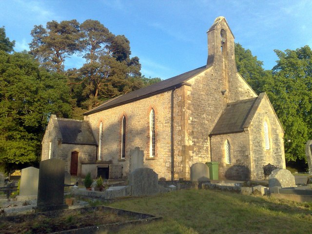 Derrybrusk Church (In ruins)Ruins · 1.5 mi
 Coneyburrow WoodWood · 1.6 mi
 Limekiln Bog WoodWood · 1.7 mi
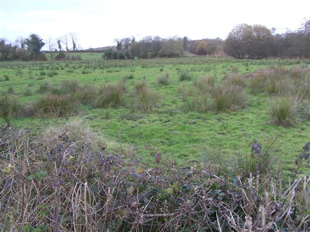 Knock IslandIsland · 1.9 mi
 War MemorialMemorial · 2.4 mi
 Remembrance Day bombingbomb attack · 2.4 mi