What is recorded here
Located within an enclosure (MA060-040----). Poorly-defined, irregularly-shaped mound (19.3m NW-SE; 10.6m NE-SW; max. H 1.3m) of earth and stone, delimited by a much degraded scarp. Rock outcrop protrudes from the upper levels of the mound, and there is a considerable amount of loose stone, probably field clearance debris. There are hawthorn and ash trees growing on the mound.
Compiled by: Jane O’Shaughnessy and Paddy O'Donovan
Date of upload: 7 December 2017
The monument record does not grant public access. Check the route and ask the landowner before entering private land.
- What survives
- Recorded monument
Places near here
 IndicatedFairy fort / earthen ringfort · 682 yd
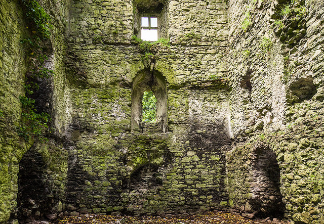 Castle in ruinsCastle, tower house · 1419 yd
 Ballylahan Castle in RuinsCastle, Anglo-Norman masonry castle · 1423 yd
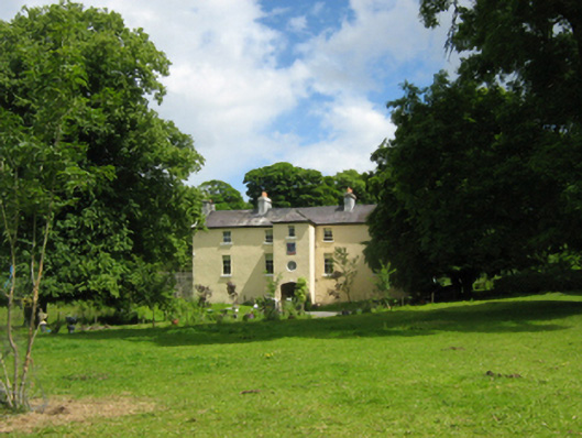 Cloongee Househouse · 1456 yd
 Cloongee National Schoolschool · 1.2 mi
 Michael DavittMemorial · 1.3 mi
 InidcatedFairy fort / earthen ringfort · 1.4 mi
 Admiral William BrownMemorial · 2.9 mi
 Foxford Woollen MillsHeritage attraction · 2.9 mi
 Drummin ForestForest · 3.6 mi
 Lough CullinViewpoint · 3.7 mi
 Cliff IslandIslet · 4.7 mi