What is recorded here
In flat, rush-grown pasture, overlooked immediately to E by the southernmost hills of the Ox Mountains. To W, flat flood-prone grassland stretches for c. 700m to the banks of the River Moy. Listed in the SMR (1991) and the RMP (1996) as court tomb -possible. Indicated on the 1837 OS 6-inch map as a circular area of rock outcropping. On the 1929 edition the location is marked only by a sub-circular contour mark. On the 25-inch OS map it is shown as a roughly circular area outlined by a dotted line, truncated at S by an ENE–WSW field drain. This monument consists of a circular mound (diam. c. 25m; H 1.8-2m), broadly domed in profile with gently sloping sides. The mound appears to be largely earthen but several rounded and irregular-shaped boulders protrude from the top at N, and around the slope at N–E, with a few also visible towards the base of the mound at S. On top of the mound, slightly off-centre to the SW, there is an elongated, irregular-shaped depression (c. 4m E–W; 6-8m N-SSW; D c. 0.5m), defined at the NE edge by a boulder. A field fence, on an E–W axis, cuts across the N edge of the mound. The portion of the mound which lies to N of the fence survives only as a shallow degraded arc (Wth c. 2m N–S). The mound is densely covered by a thicket of hawthorn, holly trees and brambles. There is no record on file with the Megalithic Survey that this is a megalithic tomb (pers. comm. P. Walsh & E. Cody, 2012).
Compiled by: Jane O’Shaughnessy
Date of upload: 4 April 2013
A Neolithic passage tomb; significant as a rare example of early megalithic funerary architecture in the region.
The monument record does not grant public access. Check the route and ask the landowner before entering private land.
- What survives
- Recorded monument
Places near here
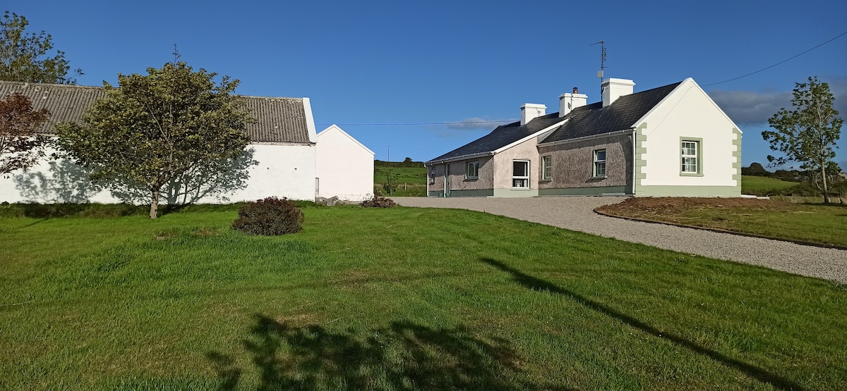 Enclosure in LeckeeEnclosure · 311 yd
 Cloongee National Schoolschool · 1271 yd
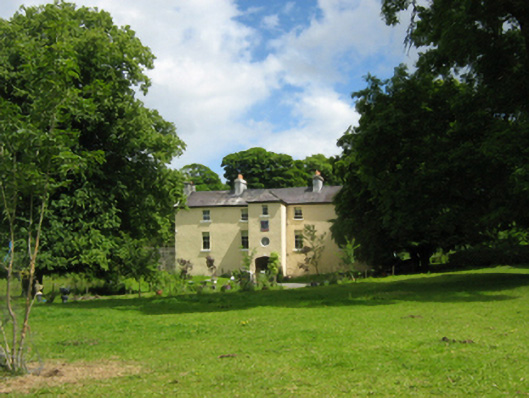 Cloongee Househouse · 1678 yd
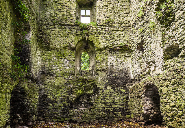 Castle in ruinsCastle, tower house · 1755 yd
 Mass-rock in FoxfordMass-rock · 1.0 mi
 Admiral William BrownMemorial · 1.1 mi
 Foxford Woollen MillsHeritage attraction · 1.2 mi
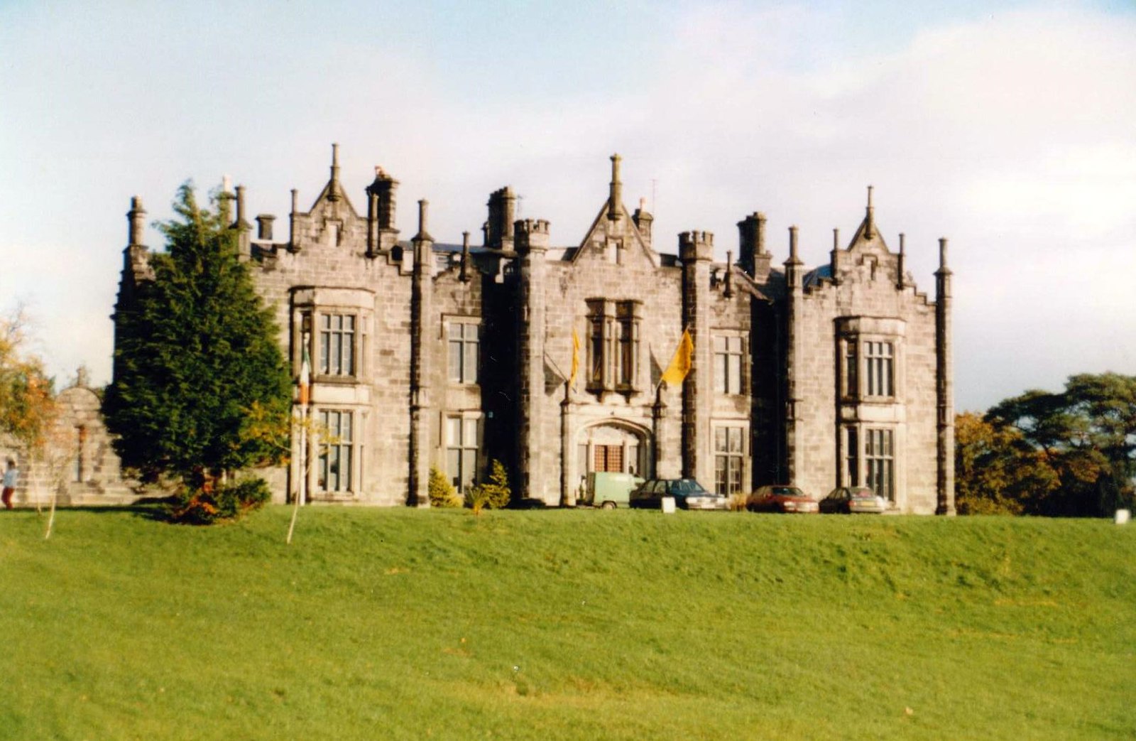 CastleCastle, unclassified · 1.2 mi
 Drummin ForestForest · 2.2 mi
 Lough CullinViewpoint · 2.5 mi
 Michael DavittMemorial · 3.1 mi
 Cliff IslandIslet · 3.8 mi