What is recorded here
Roughly oval flat-topped mound (max. dims. c. 42m N-S, c. 28m E-W, max. H c. 3.5m) situated in low lying area on W bank of the Black River. Parts of N and W sides quarried away. Defined by shallow fosse (Wth c. 2.5m, D 0.5m) on all but the river side, and a slight external bank from SE-SSW.
The above description is derived from the published 'Archaeological Inventory of County Laois' (Dublin Stationery Office, 1995) compiled by P. David Sweetman, Olive Alcock and Bernie Moran. In certain instances the entries have been revised and updated in the light of recent research.
Date of upload: 17 December 2007
A roughly oval flat-topped mound, likely a Neolithic court tomb or passage tomb, partially quarried and surrounded by a fosse. Its location near the Black River suggests ritual or communal significance in the Neolithic period.
The monument record does not grant public access. Check the route and ask the landowner before entering private land.
- What survives
- Recorded monument
Places near here
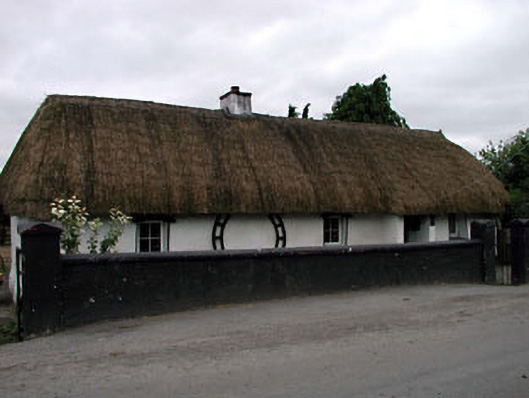 Canal Cottagehouse · 607 yd
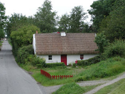 Small Wonderhouse · 622 yd
 Enclosure in Coolsickin OR QuinsboroughEnclosure · 653 yd
 IndicatedEcclesiastical site · 1592 yd
 European YewEuropean Yew · 1.8 mi
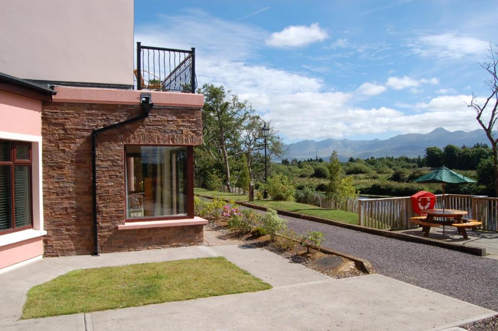 Lodge GroveWood · 2.0 mi
 Bawn in Lackagh BegBawn · 3.1 mi
 Lea Castle (in ruins)Castle, Anglo-Norman masonry castle · 3.5 mi
 Bithia Mary CrokerMemorial · 4.8 mi
 Bog Lake WalkWalking route · 5.1 mi
 Derryounce Walk (Yellow Loop)Walking route · 5.2 mi
 The Fairy BowerHeritage attraction · 8.6 mi