
What is recorded here
Located at the S end of a silted lake that is depicted as an oval area of open water (dims c. 370m N-S; c. 150m E-W) on the 1834 edition of the OS 6-inch map, with a promontory extending into the lake from S end of the E side. The lake is depicted as a larger marshy area (dims c. 450m N-S; c. 150m E-W) on the 1907 edition where the lake is described as Ramages Lough. The lake is now almost completely reclaimed and this feature is where the promontory is depicted on the earlier map. It is a grass-covered oval mound (dims 20.7m WNW-ESE; 9.7m NNE-SSW; max. H 0.6-0.8m) which is wider and higher at either end. There is no evidence of any timber or stone component, and although known locally as a crannog, it could be spoil from drainage.
Compiled by: Michael Moore
Date of upload; 14 September 2020
A local ancient tomb; wider significance not recorded.
The monument record does not grant public access. Check the route and ask the landowner before entering private land.
- What survives
- Recorded monument
Places near here
 Crannog in Clonkeen (cole)Crannog · 196 yd
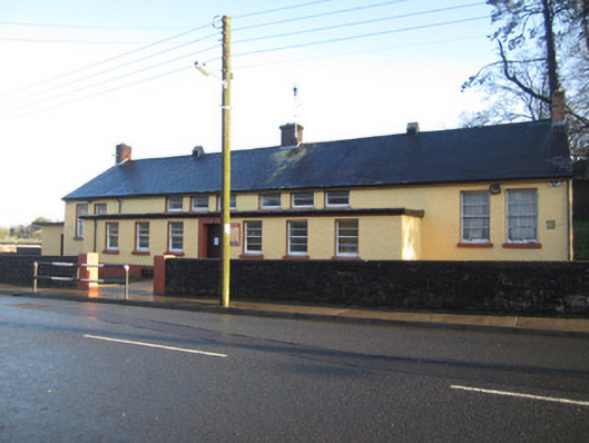 Saint Tighernach's National Schoolschool · 685 yd
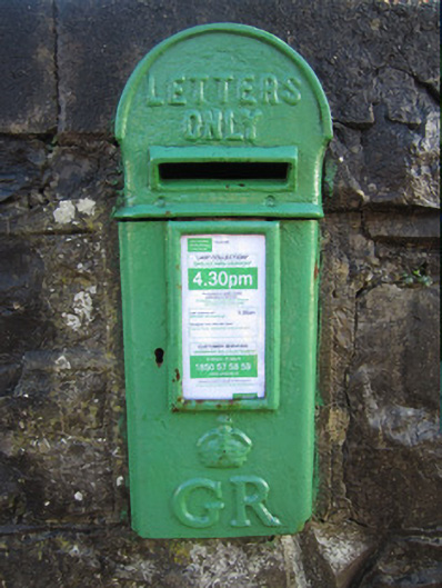 post boxpost box · 702 yd
 IndicatedFairy fort / earthen ringfort · 909 yd
 Bawn in CrossmoyleBawn · 1313 yd
 CastleCastle, motte and bailey · 1361 yd
 The Cassandra Hand CentreMuseum · 1427 yd
 Abbey RuinsHeritage attraction · 1454 yd
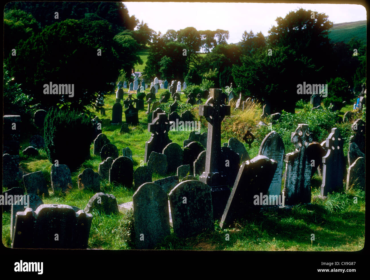 Clontivrin Grave YardArchaeological place · 1.4 mi
 Saint John's WellSpring · 2.3 mi
 KillycoonaghWood · 2.5 mi
 Common LimeCommon Lime · 2.6 mi
Other information
Photo: Credit not shown in the picture search · Rights wording not checked; contact us if this picture should be removed