What is recorded here
In 1933, Mac Domhnaill called it a grave mound, placing death at the foot of the limestone scarp in Inis Meáin. The irregular shape resists a tidy chamber, suggesting hands grabbed earth and stone in haste or grief rather than measuring a royal tomb. You can still picture someone dragging rock from the riverbank, piling it against the wind, and walking away without looking back.
At the foot of a limestone scarp close to centre of Inis Meáin. An irregularly shaped grassy mound (N-S 8m, E-W 4.5m, H 0.7m) of earth and stone. Traces of what may be a stone revetment are visible at E. In 1933, Mac Domhnaill (Topgr. Files, NMI) described it as a 'grave mound'.
The above description is derived from the published 'Archaeological Inventory of County Galway Vol. I - West Galway'. Compiled by Paul Gosling (Dublin: Stationery Office, 1993).
Date of upload: 05 August 2010
A Neolithic burial mound, likely dating to the Early to Middle Bronze Age, associated with the megalithic traditions of the Aran Islands. Its location and construction suggest a ritual or funerary function within a prehistoric landscape of significant cultural and ceremonial activity.
The monument record does not grant public access. Check the route and ask the landowner before entering private land.
- What survives
- Recorded monument
Places near here
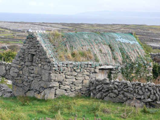 outbuildingoutbuilding · 474 yd
 Cross in Ceathrú An LisínCross · 515 yd
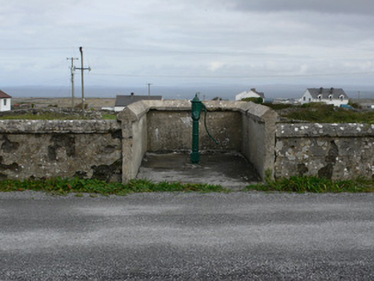 water pumpwater pump · 584 yd
 TobernakinnerigaHoly well · 634 yd
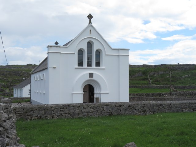 Inis MeáinIsland · 641 yd
 Dún ChonchúirHeritage attraction · 868 yd
 puffing holeHeritage attraction · 1.9 mi
 Oileán na TuíIslet · 2.7 mi
 Ceann na FaochanaHeadland · 2.9 mi
 Lár na TráBeach / strand · 3.1 mi
 Caisleán Uí BhriainCastle · 3.3 mi
 Port na CilleBeach / strand · 3.3 mi