What is recorded here
On a terrace on a SW-facing slope, in fairly poor pasture land. A low subrectangular mound (14.5m NE-SW; 5.5m NW-SE; H 0.8m), mainly of earth. The slope to the relatively flat top is well accentuated. A telegraph pole lies immediately to the NE.
Compiled by: Mary Tunney
Date of upload: 22 January 2013
The monument record does not grant public access. Check the route and ask the landowner before entering private land.
- What survives
- Recorded monument
Places near here
 Site of Tiscoffin ChurchChurch · 704 yd
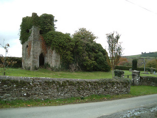 Freneystown Church (Tiscoffin)church/chapel · 726 yd
 St. Scoheens WellHoly well · 737 yd
 Saint Scuithin's Catholic Churchchurch/chapel · 756 yd
 Freneystown CastleCastle, tower house · 914 yd
 St. Mogarra’s WellSpring · 1.9 mi
 Moonhall Castle (ruins)Castle · 2.0 mi
 HawthornHawthorn · 2.4 mi
 Gleann Dick ForestForest · 3.5 mi
 Time CapsuleMemorial · 7.2 mi
 Tullaherin Church and Round TowerVisitor information · 7.5 mi
 Kilbline GraveyardArchaeological place · 8.0 mi