What is recorded here
Helen Roe suggested the possibility of the presence of a stone built fort in this townland due to its name, but she didn't known if any such fort existed (H. Roe Leix Placenames 1939, The Nationalist).
Compiled by: Caimin O'Brien
Date of upload: 17 December 2007
The monument record does not grant public access. Check the route and ask the landowner before entering private land.
- What survives
- Recorded monument
Places near here
 Enclosure in DerrynaseeraEnclosure · 338 yd
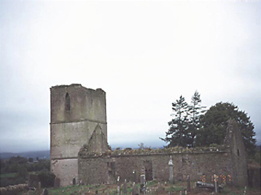 Anatrim Church (Offerlane)church/chapel · 682 yd
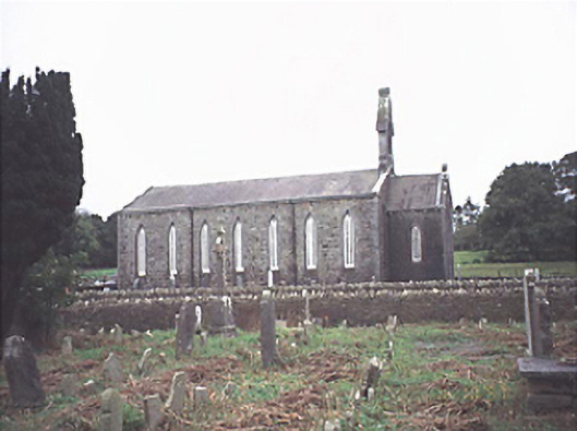 Saint Jude's Church (Offerlane)church/chapel · 741 yd
 MoatFairy fort / earthen ringfort · 1479 yd
 Sweet ChestnutSweet Chestnut · 2.4 mi
 Site of CastleCastle, unclassified · 2.9 mi
 Mondrehid CastleCastle, tower house · 3.1 mi
 ArderinMountain / peak · 5.5 mi
 European BeechEuropean Beech · 8.3 mi
 Cumber HillMountain / peak · 8.8 mi
 Millennium GardenMemorial · 9.4 mi
 Saint Dominick's WellSpring · 9.6 mi