What is recorded here
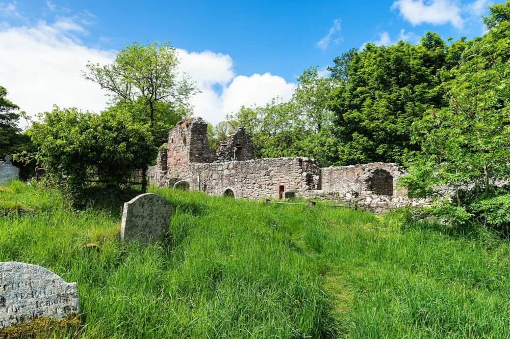
The official Northern Ireland record identifies this as MOUND. Recorded period: UNCERTAIN. The official map point was placed at the centre of the recorded archaeological site from the source map reference.
The monument record does not grant public access. Check the route and ask the landowner before entering private land.
- What survives
- Recorded monument
Places near here
 Slieveanorra ForestForest · 1.1 mi
 TrostanMountain / peak · 1.6 mi
 SlievenahanaghanMountain / peak · 2.6 mi
 CASTLE: RETREAT CASTLE in Retreat OR CloghglassCASTLE: RETREAT CASTLE · 3.1 mi
 BOOLEY SITEBOOLEY SITE, ENCLOSURE & STRUCTURES: KILWEE or CILL-BHUIDE · 3.2 mi
 ENCLOSURE (unlocated) in Skerry East (possible); Skerry West (possible)ENCLOSURE (unlocated) · 4.0 mi
 Ess-na-Larach WaterfallWaterfall · 4.3 mi
 Breen ForestForest · 4.3 mi
 Ess-Na-Crub WaterfallWaterfall · 4.5 mi
 possible MOTTE SITE; MULTIPERIOD CASTLE SITE: LISANOURE CASTLE or LOUGH GUILE CASTLE or LOUGH KEOULLE in Castlequarterpossible MOTTE SITE; MULTIPERIOD CASTLE SITE: LISANOURE CASTLE or LOUGH GUILE CASTLE or LOUGH KEOULLE · 5.4 mi
 CHURCH in CushendallCHURCH · 5.5 mi
 Sundial HouseHouse · 5.6 mi