What is recorded here
Univallate rath KE016-068---- is situated in low-lying pastureland and a good view is afforded in all directions. It consists of a circular area enclosed by a well-defined earthen bank and a slight trace of an exterior fosse.
The interior is at a higher level than the surrounding land, and contained in the N sector is a mound (KE016-068001-) which curves into the interior of the bank. It is c 4m N-S, and c 6m E-W.
The above description is derived from C. Toal, ‘North Kerry Archaeological Survey’. Dingle. Brandon in association with FAS Training and Employment Authority (1995), no. 619. In certain instances the entries have been revised and updated in the light of recent research.
Date of upload: 2 August 2013
A univallate rath, likely dating to the Early Medieval period (5th–10th centuries AD), representing a defensive or domestic earthwork. Its strategic location and visibility suggest it may have had a local significance in settlement or territorial organisation.
The monument record does not grant public access. Check the route and ask the landowner before entering private land.
- What survives
- Recorded monument
Places near here
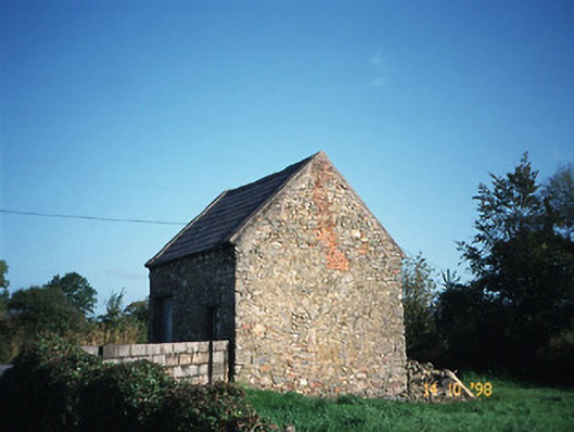 Crotta Housegate lodge · 729 yd
 Enclosure in BallincraheenEnclosure · 917 yd
 Enclosure in Liscullane (clanmaurice By., Kilcaragh Par.)Enclosure · 1679 yd
 Church in Kilfeighny NorthChurch · 1.1 mi
 CastleCastle, Anglo-Norman masonry castle · 1.9 mi
 Kilflynn Nature ReserveNature reserve · 2.0 mi
 Stack's MountainMountain / peak · 4.1 mi
 CruslineMountain / peak · 4.5 mi
 Ballymacaquinn Castle (remains of)Castle · 4.6 mi
 Tobar na MoltSpring · 6.3 mi
 Kerry Writers' MuseumMuseum · 7.1 mi
 Bryan MacMahonMemorial · 7.1 mi