What is recorded here
Priest's Grave, Ballintlieve, Donegal: a low stone-lined mound, 4.5m by 2.5m, with a small upright stone in a central depression on the hill's lower slope. The name suggests a buried cleric, yet the shape and setting resemble an old marker or ritual site rather than a Christian graveyard. Whatever it marked, the hill still keeps the outline: a shallow chamber of stones, open to sky and weather.
A low subrectangular mound, defined by a stone wall some 2-3 courses high, with a depression in the centre, where there is a small upright stone. The mound is 4.5m N-S × 2.5m E-W. The site is locally known as the 'Priest's Grave'. It is situated on the lower SW slopes of Ballintlieve Hill, in rough uncultivated grazing land.
The above description was derived from the 'Archaeological Survey of County Donegal. A description of the field antiquities of the County from the Mesolithic Period to the 17th century.' Compiled by: Brian Lacey with Eamon Cody, Claire Cotter, Judy Cuppage, Noel Dunne, Vincent Hurley, Celie O'Rahilly, Paul Walsh and Seán Ó Nualláin (Lifford: Donegal County Council, 1983). In certain instances the entries have been revised and updated.
Date of upload: 22 September 2008
A possible Neolithic or early Bronze Age funerary mound, possibly a cairn with a central stone feature; its small size and local association with the 'Priest' suggest limited regional significance, though further investigation could clarify its function and broader context.
The monument record does not grant public access. Check the route and ask the landowner before entering private land.
- What survives
- Recorded monument
Places near here
 Glendowen craft shopHeritage attraction · 1.2 mi
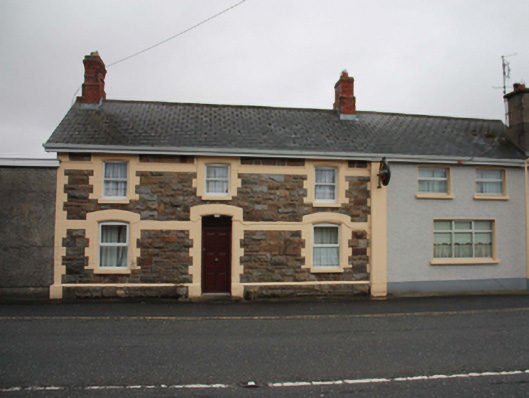 North Polerailway station · 1.5 mi
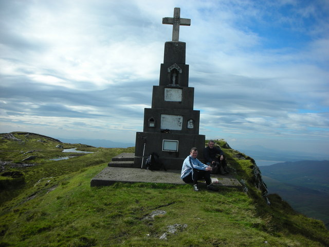 BulbinMountain / peak · 1.5 mi
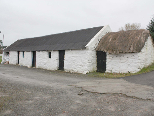 outbuildingoutbuilding · 1.8 mi
 Fairy fort / stone ringfort in AddervilleFairy fort / stone ringfort · 2.4 mi
 Roosky Enclosure near ClonmanyEnclosure · 2.6 mi
 Wee Slieve SnaghtMountain / peak · 2.8 mi
 Clonmany Early Church GraveyardGraveyard · 3.4 mi
 Glenevin WaterfallWaterfall · 3.5 mi
 Glenevin Waterfall, Clonmanywaterfall · 3.5 mi
 Glenevin Waterfall WalkOfficial walking route · 3.7 mi
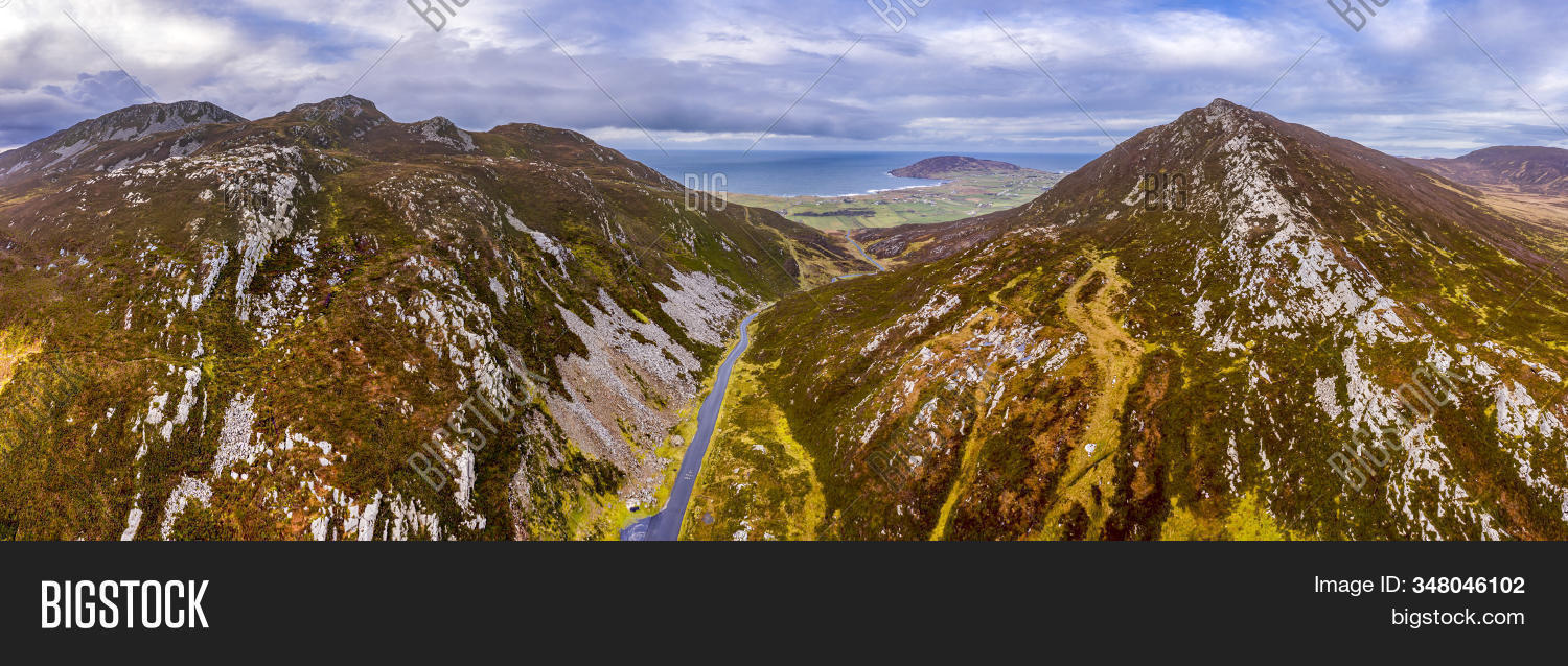 Gap of MarmoreHeritage attraction · 3.9 mi