What is recorded here
Dungallon Fort rises in Nappan, County Antrim, an uncertain but scheduled mound where human hands shaped the land before written memory. It may have watched the coast, hidden people during storms, or marked a boundary between neighbours. The earth still holds that purpose even though the names and dates have faded.
The official Northern Ireland record identifies this as MOUND: DUNGALLON FORT. Recorded period: UNCERTAIN. Recorded protection: Scheduled. The official map point was placed at the centre of the recorded archaeological site from the source map reference.
The monument record does not grant public access. Check the route and ask the landowner before entering private land.
- What survives
- Recorded monument
Places near here
 FIELD SYSTEMFIELD SYSTEM, BOUNDARIES; ENCLOSURES; STRUCTURES · 1038 yd
 PROMONTORY FORT: DUNMALL or DUNMAUL or GARRON TOWER in Galboly LowerPROMONTORY FORT: DUNMALL or DUNMAUL or GARRON TOWER · 1.1 mi
 ENCLOSUREENCLOSURE, CASTLE?: CASTLE HILL · 1.4 mi
 The White LadyNamed rock · 1.7 mi
 Ardclinis BridgeBridge · 2.3 mi
 Carnlough HarbourHarbour/ Pier · 2.6 mi
 Millennium MilepostVisitor information · 2.7 mi
 Cranny FallsWaterfall · 2.9 mi
 Red Bay CastleArchaeological place · 4.1 mi
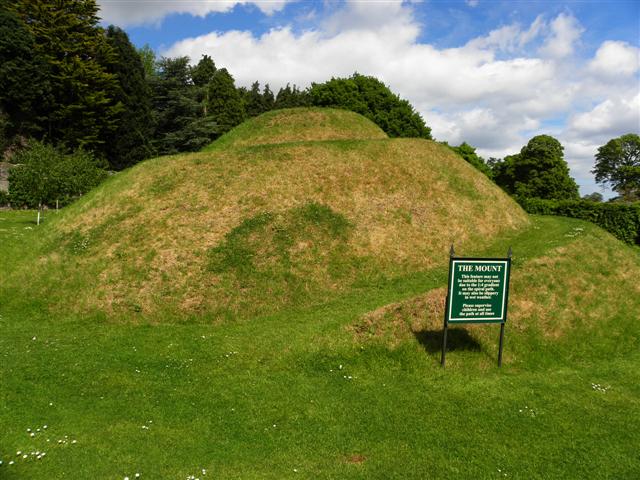 The MountViewpoint · 4.4 mi
 LurigethanMountain / peak · 4.7 mi
 Ess-Na-Crub WaterfallWaterfall · 5.0 mi