What is recorded here
Motte and bailey earthworks in Craigarogan, Roughfort, County Antrim. Medieval fortification, scheduled ancient monument. A tower or hall may have stood on the mound, while a fenced courtyard surrounded it. People may have lived, worked or fought there before the wood and stone disappeared. The mound still marks the fort, even when every beam has rotted back into the ground.
The official Northern Ireland record identifies this as MOTTE: ROUGH FORT. Recorded period: MEDIEVAL. Recorded protection: Scheduled. The official map point was placed at the centre of the recorded archaeological site from the source map reference.
The monument record does not grant public access. Check the route and ask the landowner before entering private land.
- What survives
- Recorded monument
Places near here
 ENCLOSURE: SHANESHILL in CraigaroganENCLOSURE: SHANESHILL · 832 yd
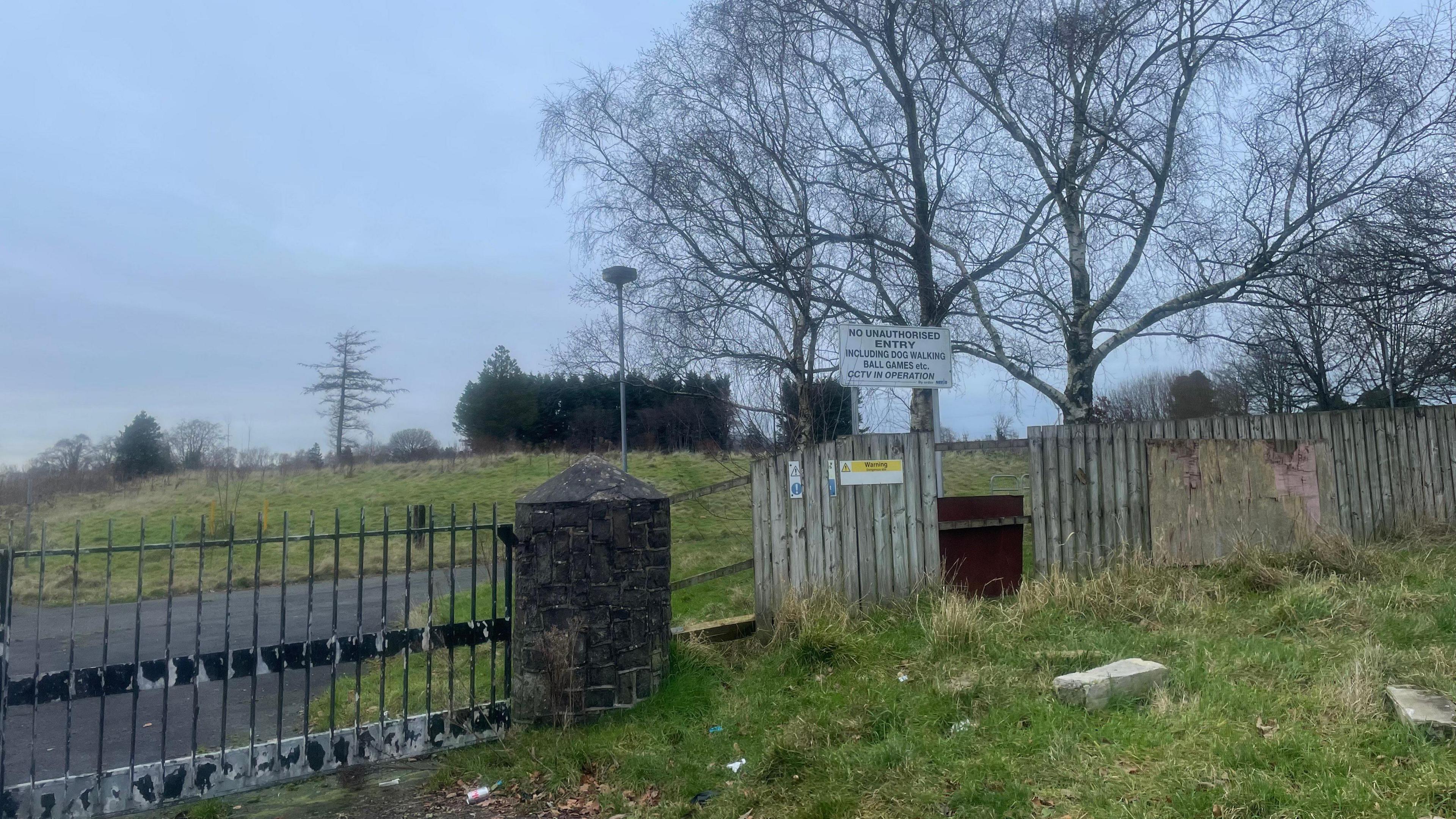 A.P. SITEA.P. SITE, enclosure · 833 yd
 Patterson's Spade MillMill · 1.0 mi
 FORTIFIED HOUSE & EARTHWORK DEFENCES (unlocated) in Grange OF MalluskFORTIFIED HOUSE & EARTHWORK DEFENCES (unlocated) · 1.7 mi
 Sentry Hill Historic HouseMuseum · 2.0 mi
 CHURCH? in BallywonardCHURCH? · 2.2 mi
 CASTLE (unlocated) in BallyvastonCASTLE (unlocated) · 2.6 mi
 Squires HillMountain / peak · 3.8 mi
 Carnmoney HillMountain / peak · 3.9 mi
 Bellevue Area of Special Scientific InterestCliff · 3.9 mi
 1971 Scottish soldiers' killingsmurder · 3.9 mi
 Cave Hill TrailWalking route · 4.2 mi