What is recorded here
Doagh holds a medieval motte where human hands threw earth into a shape that still defies forgetting. Whether dovens, traders or fleeing families built the mound is no longer certain, but the ground remains marked by that choice. Doagh has watched empires change and languages shift, yet the mound still stands as a reminder that people once believed the landscape could be made into a weapon, a refuge or a symbol.
The official Northern Ireland record identifies this as MOTTE. Recorded period: MEDIEVAL. Recorded protection: Scheduled. The official map point was placed at the centre of the recorded archaeological site from the source map reference.
The monument record does not grant public access. Check the route and ask the landowner before entering private land.
- What survives
- Recorded monument
Places near here
 Enclosure in BallyhamageEnclosure · 233 yd
 ENCLOSURE & Man-made underground passage(S) (O.S. memoir site; unlocated) in DoaghENCLOSURE & Man-made underground passage(S) (O.S. memoir site; unlocated) · 1225 yd
 RUINED STRUCTURERUINED STRUCTURE, CHURCH? · 2.0 mi
.jpg?width=1280) Ballyclare Town HallTown Hall · 2.0 mi
Ballyclare Town HallTown Hall · 2.0 mi C17th CASTLE on MONASTIC SITE : ORDER of ST. JOHN OF JERUSALEM, UPTON CASTLE, UPTON MAUSOLEUM, HUGH DE LOGAN'S TOWN in TemplepatrickC17th CASTLE on MONASTIC SITE : ORDER of ST. JOHN OF JERUSALEM, UPTON CASTLE, UPTON MAUSOLEUM, HUGH DE LOGAN'S TOWN · 2.9 mi
 Castle UptonCastle · 3.0 mi
 Sentry Hill Historic HouseMuseum · 4.2 mi
 Big CollinMountain / peak · 4.9 mi
 Tardree MountainMountain / peak · 5.4 mi
 Tardree ForestForest · 5.5 mi
 Springhill Massacremass shooting · 9.9 mi
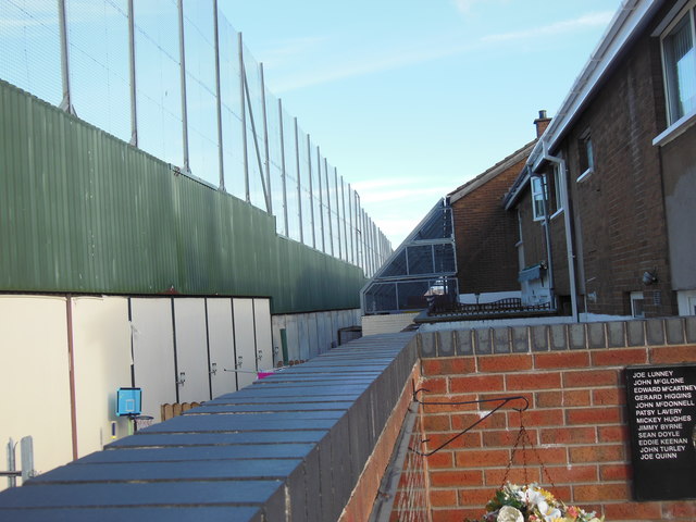 Clonard Martyrs MemorialMemorial · 9.9 mi