
What is recorded here
Montiaghroe Standing Stones still mark Donegal land though no human record explains why they stand or when they rose. That gap is not a failure, because the stones are still visible and the picture gives them back a name. They may have guided people, warned people, or simply watched the chang
A reusable public picture page identifies this place as Montiaghroe Standing Stones. This entry is kept separately because no one government record could be safely joined to that public name and point.
Likely dating to the Late Neolithic or Early Bronze Age, the Montiaghroe Standing Stones may have been used for ceremonial, astronomical, or territorial purposes. No specific folklore or detailed archaeological analysis has been recorded for this site.
The public picture does not grant access. Check the route and ask before entering private land.
Places near here
 Drumskinny Stone CircleHeritage attraction · 1653 yd
 STONE CIRCLE, CAIRN & ALIGNMENT in DrumskinnySTONE CIRCLE, CAIRN & ALIGNMENT · 1654 yd
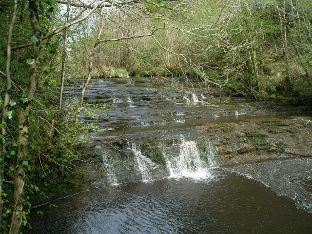 Drummoney WaterfallWaterfall · 1.9 mi
 Dooraa HillMountain / peak · 2.5 mi
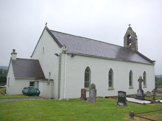 Saint Joseph's Catholic Churchchurch/chapel · 2.6 mi
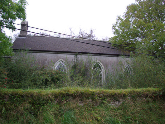 Cashelenny Church of Ireland Churchchurch/chapel · 2.7 mi
 RECTANGULAR ENCLOSURE in GreaghmoreRECTANGULAR ENCLOSURE · 2.8 mi
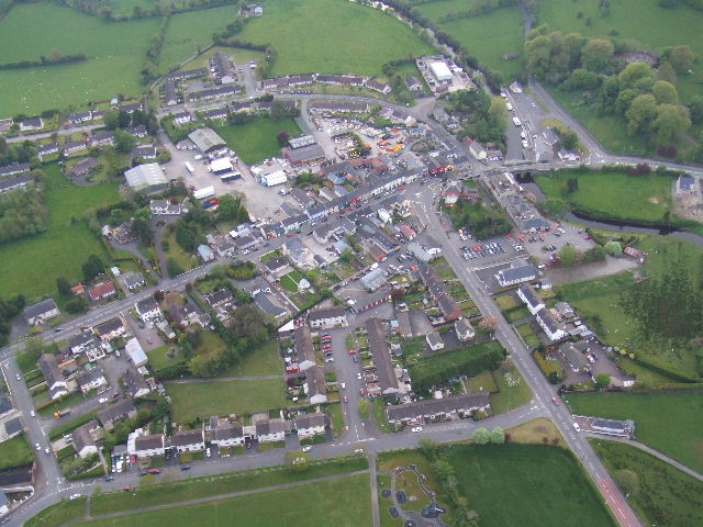 Kesh ForestForest · 3.1 mi
 Grousehall ForestForest · 3.8 mi
 Macart IslandIslet · 4.0 mi
 Physicberry IslandIslet · 4.0 mi
 Crevenish CastleHeritage attraction · 4.6 mi
Other information
Photo: Kenneth Allen · CC BY-SA 2.0