What is recorded here
In pasture; on E bank of River Bride, commanding view N up river valley. Rectangular area (31m NW-SE; 27.7m NE-SW) by earthen bank (int. H 1.7m) with external fosse (D 1.3m). Low counterscarp bank (max. H 0.4m) to SE and NW. Break in bank (Wth c. 5m) at N corner with causeway. Interior slopes gently down to NW; crossed by faint remains of cultivation ridges.
The above description is derived from the published 'Archaeological Inventory of County Cork. Volume 3: Mid Cork' (Dublin: Stationery Office, 1997). In certain instances the entries have been revised and updated in the light of recent research.
Date of upload/revision: 14 January 2009
The monument record does not grant public access. Check the route and ask the landowner before entering private land.
- What survives
- Recorded monument
Places near here
 MillMill, fulling · 425 yd
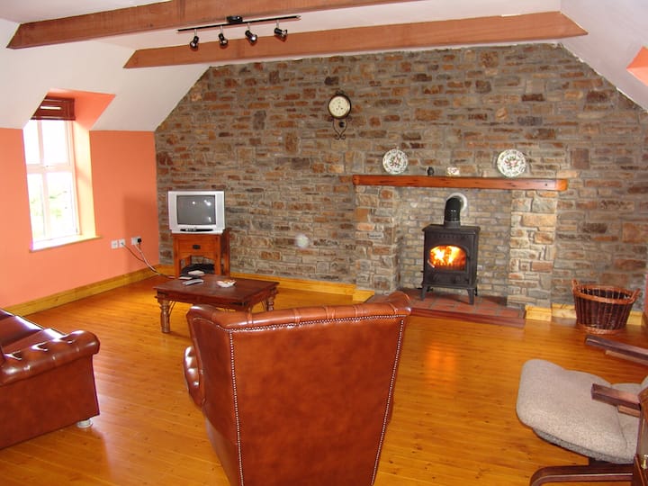 Curraclogh HouseCountry house · 1150 yd
 Michael Collins MemorialMemorial · 1.1 mi
 Man-made underground passageMan-made underground passage · 1.1 mi
 Burnt spread in CoolduffBurnt spread · 1.2 mi
 Independence MuseumMuseum · 1.4 mi
 Kilmurry WoodsPicnic place · 1.5 mi
 Priest MemorialMemorial · 1.7 mi
 Clodah CastleCastle · 1.9 mi
 Green HillMountain / peak · 2.1 mi
 Andrew's WoodWood · 2.2 mi
 Summerhouse WoodForest · 2.4 mi