What is recorded here
In level pasture at the base of slight N-facing slope. Roughly rectangular area (dims. 34m N-S; 32m E-W) enclosed by an earthen scarp (Wth 4.8m; ext. H 0.7m) with a broad flat-bottomed fosse (Wth 1.7m) and a slight broad external earthen bank (int. H 0.8m; ext. H 0.1m; Wth at top 3m; overall Wth 9.6m). N side of the moated site is slightly longer (L 36m) than the other sides. The fosse is almost entirely infilled and barely visible NW-NE along the N side of the moated site. The external bank is not visible NW-NE along the N side of the monument and a modern E-W orientated drain has been cut along the line of the external base of the absent bank. The original entrance is not recognisable. The interior is level, dry and clear of overgrowth.
Compiled by: Jean Farrelly
Date of upload: 26 August 2011
The monument record does not grant public access. Check the route and ask the landowner before entering private land.
- What survives
- Recorded monument
Places near here
 Enclosure in KnockaleganEnclosure · 77 yd
 Templebredon Church (in ruins)Church · 367 yd
 Grave YardGraveyard · 379 yd
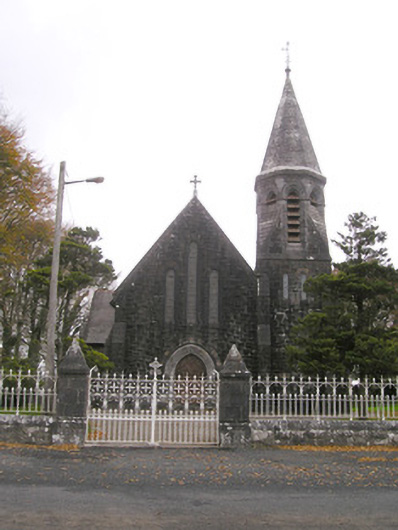 Saint Brigid's Catholic Churchchurch/chapel · 1457 yd
 Site of Ballyneety CastleCastle, unclassified · 1555 yd
 Carrickittle RockCastle, unclassified · 1.5 mi
 Kilteely HillMountain / peak · 2.5 mi
 St. Patrick's WellSpring · 2.6 mi
 KnockseefinMountain / peak · 3.4 mi
 Flat cemetery in Knockainy WestFlat cemetery · 5.5 mi
 St Patrick's WellSpring · 6.3 mi
 Ballinvreena LoopVisitor information · 9.3 mi