What is recorded here
Situated on S bank of Drumcliff River in low-lying wet pasture. Roughly D-shaped area (dims. c.45m NW-SE; c.30m NE-SW) enclosed by a scarp of earth (ext. H 0.85m). At the external foot of the scarp is a fosse (Wth 11.4m; D 0.65m). The scarped edge and the fosse enclose the site SSE-NW. From NW-ENE the site is defined by a straight NW-SE orientated stretch of the Drumcliff River and from ENE-SSE by a straight NE-SW orientated field drain. The fosse has a very broad flat-bottomed profile and is waterlogged. The original entrance is not recognisable. The interior is divided into approximately two halves by a NE-SW orientated fosse-like depression (L 20m; Wth 4-6m; D 0.45m) that lies slightly to W of centre. A slightly raised rectangular area (dims. 17m NW-SE; 15m NE-SW) defined by an irregular scarp (H 0.3m) lies on the NE side of the interior in the angle between the river and the drain.
Compiled by: Patrick F. O'Donovan
Date of upload: 21 April 2011
The monument record does not grant public access. Check the route and ask the landowner before entering private land.
- What survives
- Recorded monument
Places near here
 Saint Columba's Church (Drumcliff)church/chapel · 924 yd
 Drumcliff CemeteryGraveyard · 930 yd
 Grave of WB YeatsHeritage attraction · 943 yd
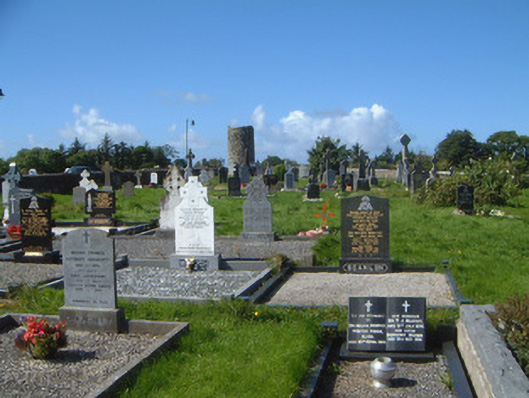 graveyard/cemeterygraveyard/cemetery · 994 yd
 Enclosure in BallynagalliaghEnclosure · 1025 yd
 Stone crossCross, High cross · 1038 yd
 Castle (in Ruins)Castle, unclassified · 1.2 mi
 CastleCastle, unclassified · 1.2 mi
 Kings MountainMountain / peak · 1.6 mi
 Floods WoodForest · 2.0 mi
 Benbulbin South-East TopMountain / peak · 2.2 mi
 Paddy McGowan's WoodWood · 2.6 mi