What is recorded here
Situated on the E face of a natural hillock in undulating pasture-land which is wet in places. Earthwork (WM008-044---) 100m to SE. Earthwork (WM008-043---) 120m to S. A rectangular shaped area (approx. dims. 22m NW-SE x 35m NE-SW) enclosed by a poorly preserved earthen bank and a wide flat-bottomed fosse. The monument has been levelled from S-WSW. The interior slopes WSW-ENE. A modern septic tank has been constructed in the NW quadrant of the interior, during the digging of which a George II penny dated 1744 was found (local information).
Compiled by: Frank Coyne and Caimin O'Brien
Date of upload: 19 April 2017
The monument record does not grant public access. Check the route and ask the landowner before entering private land.
- What survives
- Recorded monument
Places near here
 Brownstown OldSettlement cluster · 130 yd
 IndicatedEnclosure · 848 yd
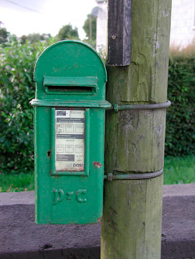 post boxpost box · 1081 yd
 Archerstown Church in ruinsChapel · 1151 yd
 Bawn in ArcherstownBawn · 1536 yd
 Bawn in Scurlockstown (delvin By.)Bawn · 1.1 mi
 The FurzeForest · 1.3 mi
 The Sloe HillMountain / peak · 1.8 mi
 Kells HillMountain / peak · 2.2 mi
 Bradley's WoodWood · 2.3 mi
 Castle IslandIslet · 4.5 mi
 South East GateHeritage attraction · 4.6 mi