What is recorded here
On a S-facing slope of valley, just below the crest of a flat hilltop, in rolling grassland. There are good views in all directions. A roughly square area (dims. 44m N-S; 40m E-W) enclosed by a bank (Wth at crest 2m; overall Wth 6m; int. H 1.2m; ext. H 3m) and external fosse (Wth 2m; D 1.8m), though this only survives where it is incorporated in a field boundary which runs along the N length and NW angle of the moated site. The E, S and W sides were levelled in 1987, with only traces of a wet fosse, visible at ground level. Before being levelled it was visited by Barry (1977, 186) who describes it as a, 'platform raised 1m. Int. banks 2.8m wide and 1.25m high. Dry moat 2.50m wide', he also mentions that it was planted with larch trees '40 years ago', i.e. the 1930s.
Compiled by: Jean Farrelly
Date of upload: 31 January 2018
The monument record does not grant public access. Check the route and ask the landowner before entering private land.
- What survives
- Recorded monument
Places near here
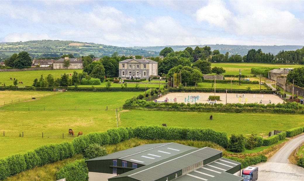 Enclosure in BallygowneyEnclosure · 204 yd
 Ballygowney RingfortArchaeological place · 525 yd
 Foyle Bridgebridge · 1321 yd
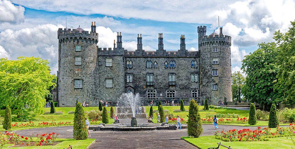 CastleCastle, unclassified · 1398 yd
 Church (in ruins)Church · 1428 yd
 Balleen Castle (ruins)Castle · 1.3 mi
 Street fieldArchaeological place · 3.1 mi
 Clomantagh HillMountain / peak · 3.3 mi
 The CopseWood · 3.7 mi
 Anker's IslandIsland · 4.7 mi
 John HelyMemorial · 4.8 mi
 DelaneyMemorial · 4.8 mi