What is recorded here
Located towards the bottom of a W-facing slope overlooking a fairly level shelf on the broad summit of Slieve Rushen, which has millstone grits in its solid geology. No documentary references to the quarries are known but they are probably 18th century in date and associated with the sweathouse (CV009-026----) at the S end of the N-S line of nine separate quarries that have been identified. Most consist merely of areas where the peat has been cleared off into small banks (Wth c. 2m; H 0.1-0.4m) surrounding circular exposed expanses of bedrock (int. diam. c. 4-6m), but these clearance banks are usually open on the downslope side. Quarrying was undertaken at perhaps two locations. At one, a rough-out for a millstone (diam. 1.6m; T 0.3-0.35m) survives with a broken edge. It is beside a small rectangular house (int. dims 2.5m E-W; 1.9m N-S) or shelter excavated into the hillslope, with an entrance gap (Wth 0.5m) towards the E end of the N wall.
Compiled by: Michael Moore
Date of upload: 29 May, 2014
The monument record does not grant public access. Check the route and ask the landowner before entering private land.
- What survives
- Recorded monument
Places near here
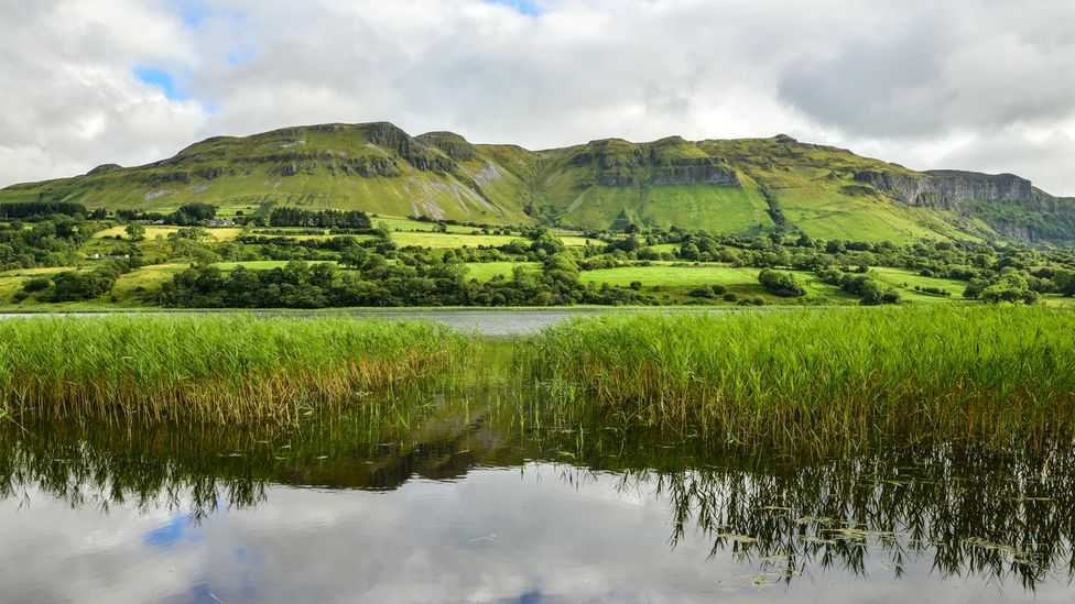 Sweathouse in GortnavreeghanSweathouse · 345 yd
 Slieve RushenMountain / peak · 532 yd
 CorneenMountain / peak · 750 yd
 PolldooCave · 984 yd
 Enclosure in BrackleyEnclosure · 1.0 mi
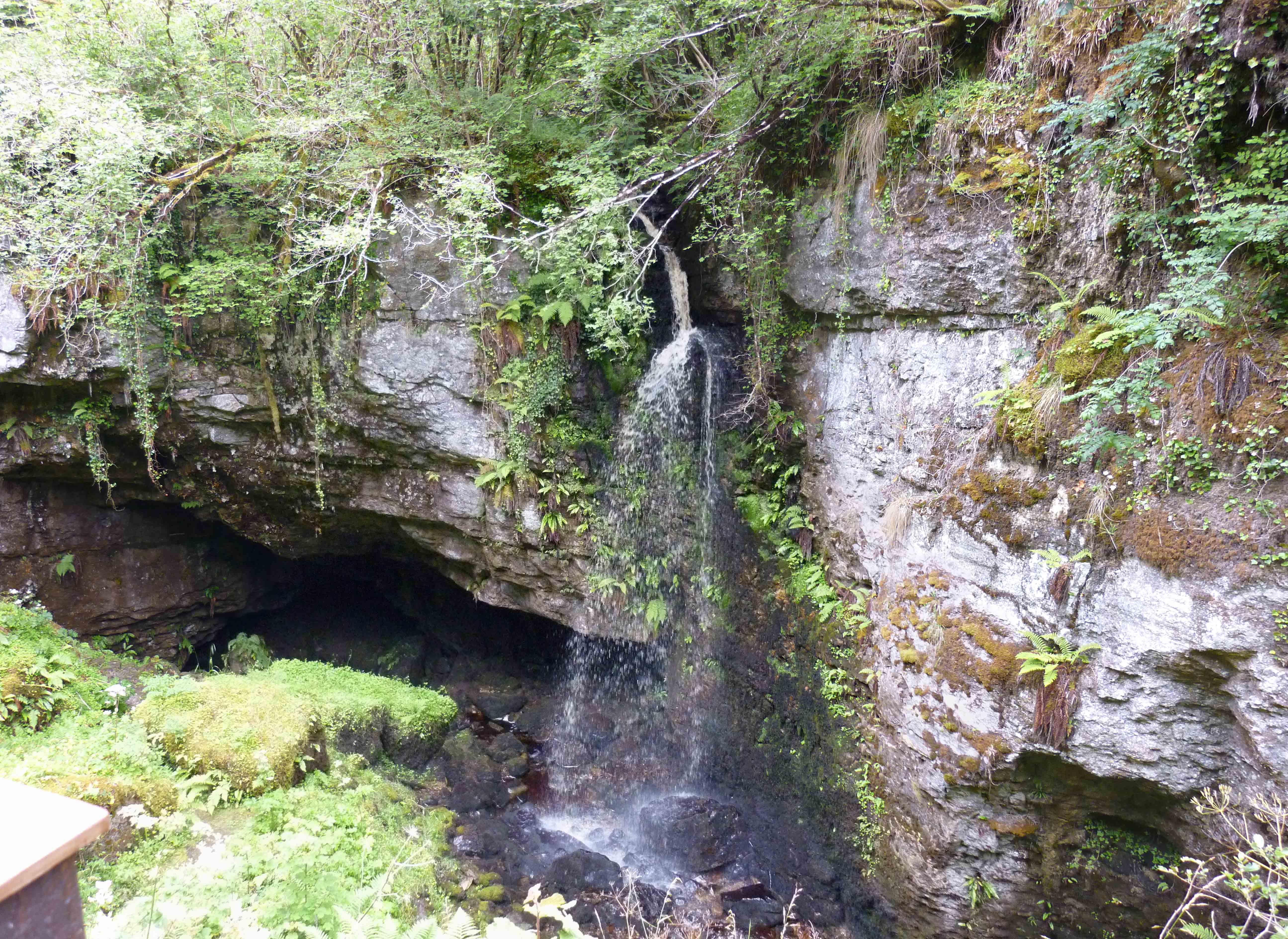 PollnagollumCave · 1.1 mi
 Brackley ForestForest · 1.4 mi
 RowanRowan · 1.4 mi
 Grainne's GraveArchaeological place · 1.4 mi
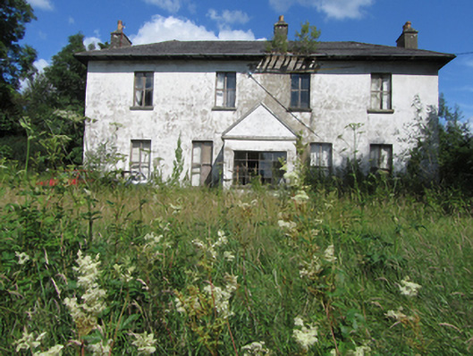 Bawnboy Housecountry house · 2.0 mi
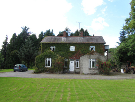 Brackley Househouse · 2.2 mi
 Baron's IslandIslet · 2.5 mi